_01.jpg)
Overview
Former Wallachian princely seat and the gateway town for the southern Transfăgărășan The marker is placed from the research catalog and should be checked against current access conditions before departure.
Location and maps
Use the map to place this stop, then choose a provider for directions.
These links open only this place, not a full road-trip route. Links open in a new tab. 2GIS opens the map point; start navigation there.
Gallery
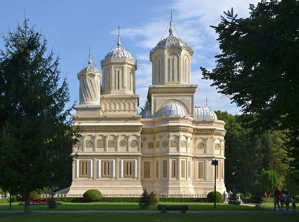
Curtea de Arges Monastery — Andrei Catalin Duta, CC BY-SA 4.0, via Wikimedia Commons · CC BY-SA 4.0 · Source
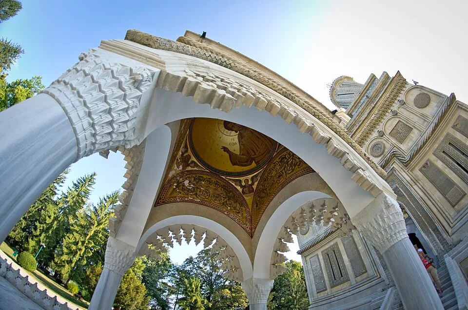
Agheasmatarul din fata Manastirii Curtea de Arges — Diaconu Calin, CC BY-SA 3.0 ro, via Wikimedia Commons · CC BY-SA 3.0 ro · Source
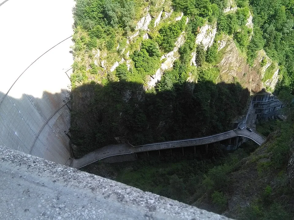
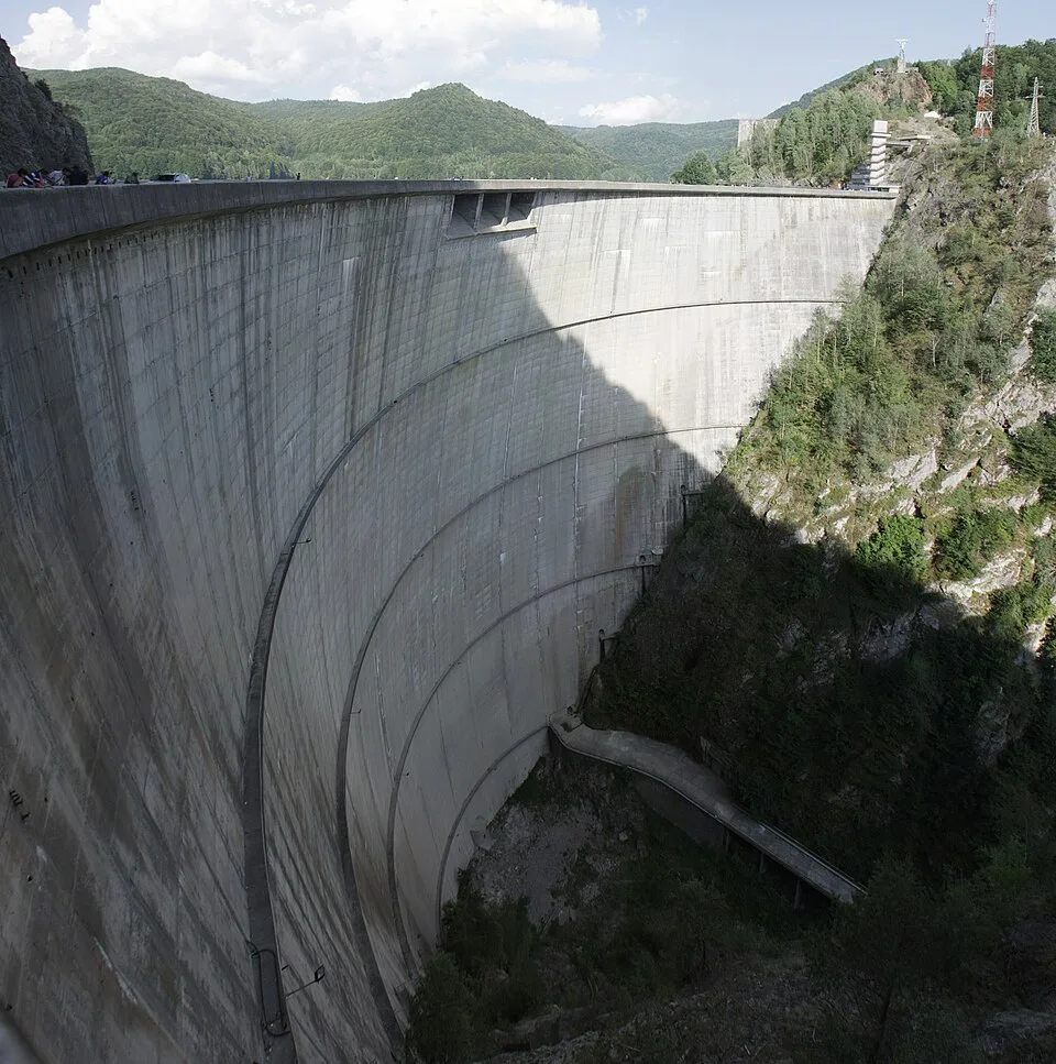
Maintenance road below Vidraru Dam — Pibwl, CC BY-SA 4.0, via Wikimedia Commons · CC BY-SA 4.0 (also 3.0/2.5/2.0/1.0 listed) · Source
© Antoine FLEURY-GOBERT / Wikimedia Commons / CC BY-SA 3.0 · CC BY-SA 3.0 · Source
Jump to visit notes
Visit notes
Viewing visit notes for Transfăgărășan South-to-North and Bâlea Lake
Curtea de Argeș
Step 2 · 186 km from previous · 202 min drive

Former Wallachian princely seat and the gateway town for the southern Transfăgărășan The marker is placed from the research catalog and should be checked against current access conditions before.