
.jpg)
Overview
Practical trailhead and accommodation zone below the Bâlea tunnel for Capra-side walks The marker is placed from the research catalog and should be checked against current access conditions before departure.
Location and maps
Use the map to place this stop, then choose a provider for directions.
These links open only this place, not a full road-trip route. Links open in a new tab. 2GIS opens the map point; start navigation there.
Gallery
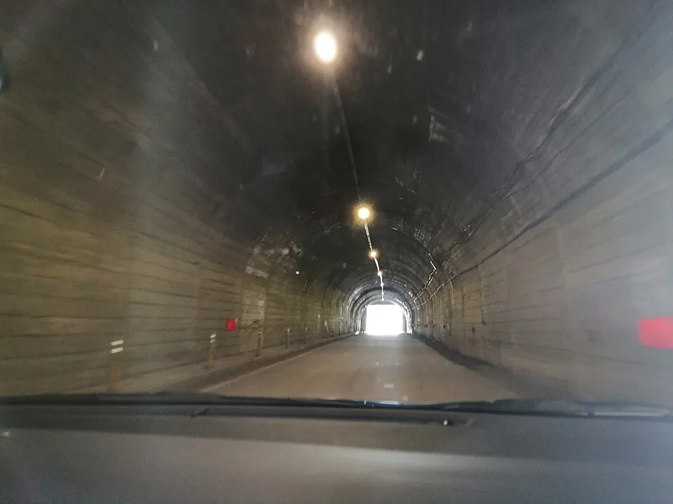
Capra-Bâlea tunnel, north direction — F.hilbert, CC BY-SA 4.0, via Wikimedia Commons · CC BY-SA 4.0 · Source
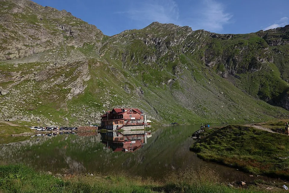
Balea lake and chalet — Mihaiteo, CC BY 3.0, via Wikimedia Commons · CC BY 3.0 · Source
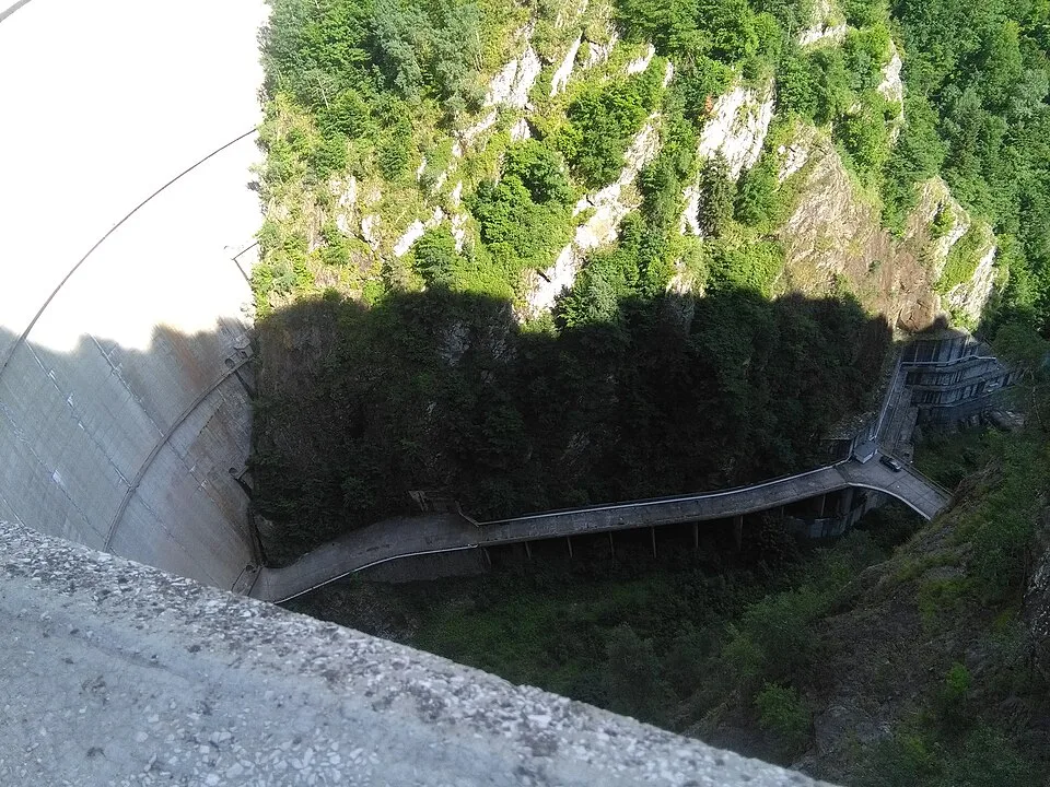
Maintenance road below Vidraru Dam — Pibwl, CC BY-SA 4.0, via Wikimedia Commons · CC BY-SA 4.0 (also 3.0/2.5/2.0/1.0 listed) · Source
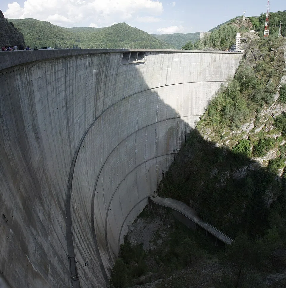
© Antoine FLEURY-GOBERT / Wikimedia Commons / CC BY-SA 3.0 · CC BY-SA 3.0 · Source
.jpg)
Jump to visit notes
Visit notes
Viewing visit notes for Transfăgărășan South-to-North and Bâlea Lake
Capra Chalet Area
Step 8 · 38 km from previous · 41 min drive
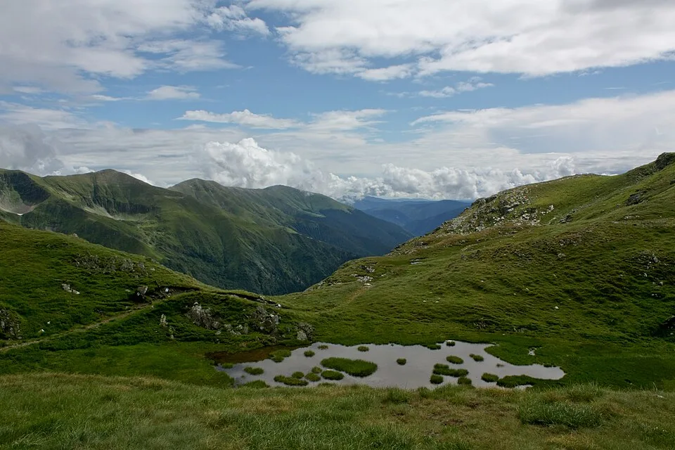
Optional nearby stop. Practical trailhead and accommodation zone below the Bâlea tunnel for Capra-side walks The marker is placed from the research catalog and should be checked against current access conditions before.