
Overview
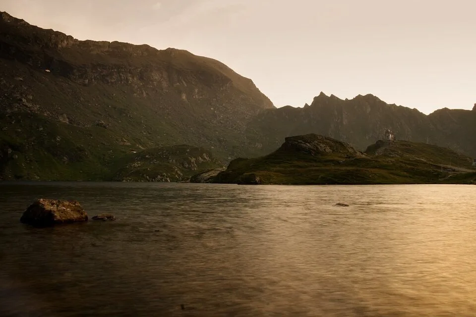
Glacial lake at about 2,034 m in the Făgăraș Mountains with chalets, Salvamont presence, and major views The marker is placed from the research catalog and should be checked against current access conditions before departure.
Location and maps
Use the map to place this stop, then choose a provider for directions.
These links open only this place, not a full road-trip route. Links open in a new tab. 2GIS opens the map point; start navigation there.
Gallery
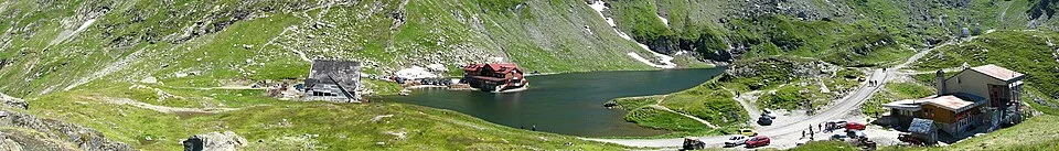
Vedere panoramică a Lacului Bâlea — Catalin gafton / derivative Jjtkk, CC BY-SA 3.0, via Wikimedia Commons · CC BY-SA 3.0 · Source
Balea Lake — Camil Ghircoias, CC BY 2.0, via Wikimedia Commons/Flickr · CC BY 2.0 · Source
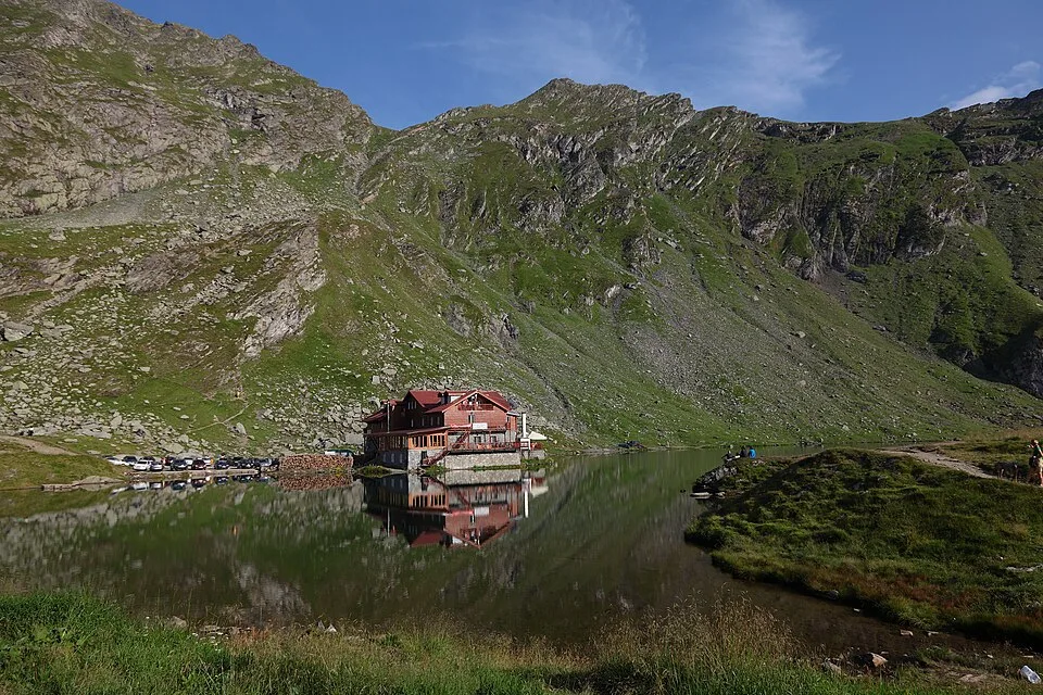
Balea lake and chalet — Mihaiteo, CC BY 3.0, via Wikimedia Commons · CC BY 3.0 · Source
Făgăraş Mountains, Romania - Lake Capra — Mercy, CC BY-SA 3.0, via Wikimedia Commons · CC BY-SA 3.0 · Source
.jpg)
Jump to visit notes
Visit notes
Viewing visit notes for Transfăgărășan South-to-North and Bâlea Lake
Bâlea Lake
Step 5 · 32 km from previous · 34 min drive
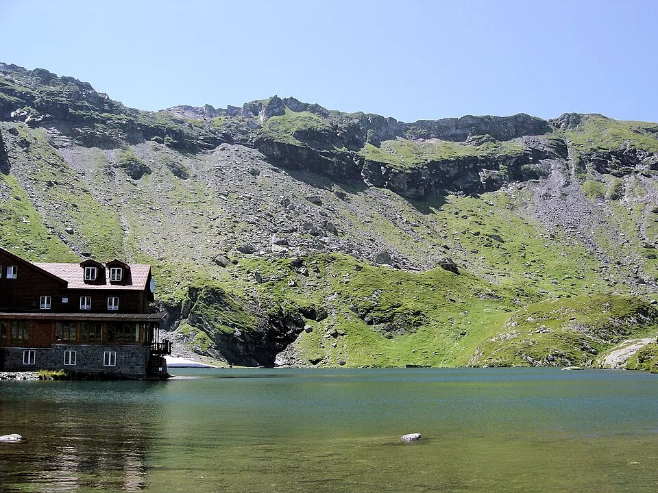
Glacial lake at about 2,034 m in the Făgăraș Mountains with chalets, Salvamont presence, and major views The marker is placed from the research catalog and should be checked against current access conditions before.