
Overview
Highest point of the Măcin Mountains, reached on an official blue-triangle trail from Greci The marker is placed from the research catalog and should be checked against current access conditions before departure.
Location and maps
Use the map to place this stop, then choose a provider for directions.
These links open only this place, not a full road-trip route. Links open in a new tab. 2GIS opens the map point; start navigation there.
Gallery
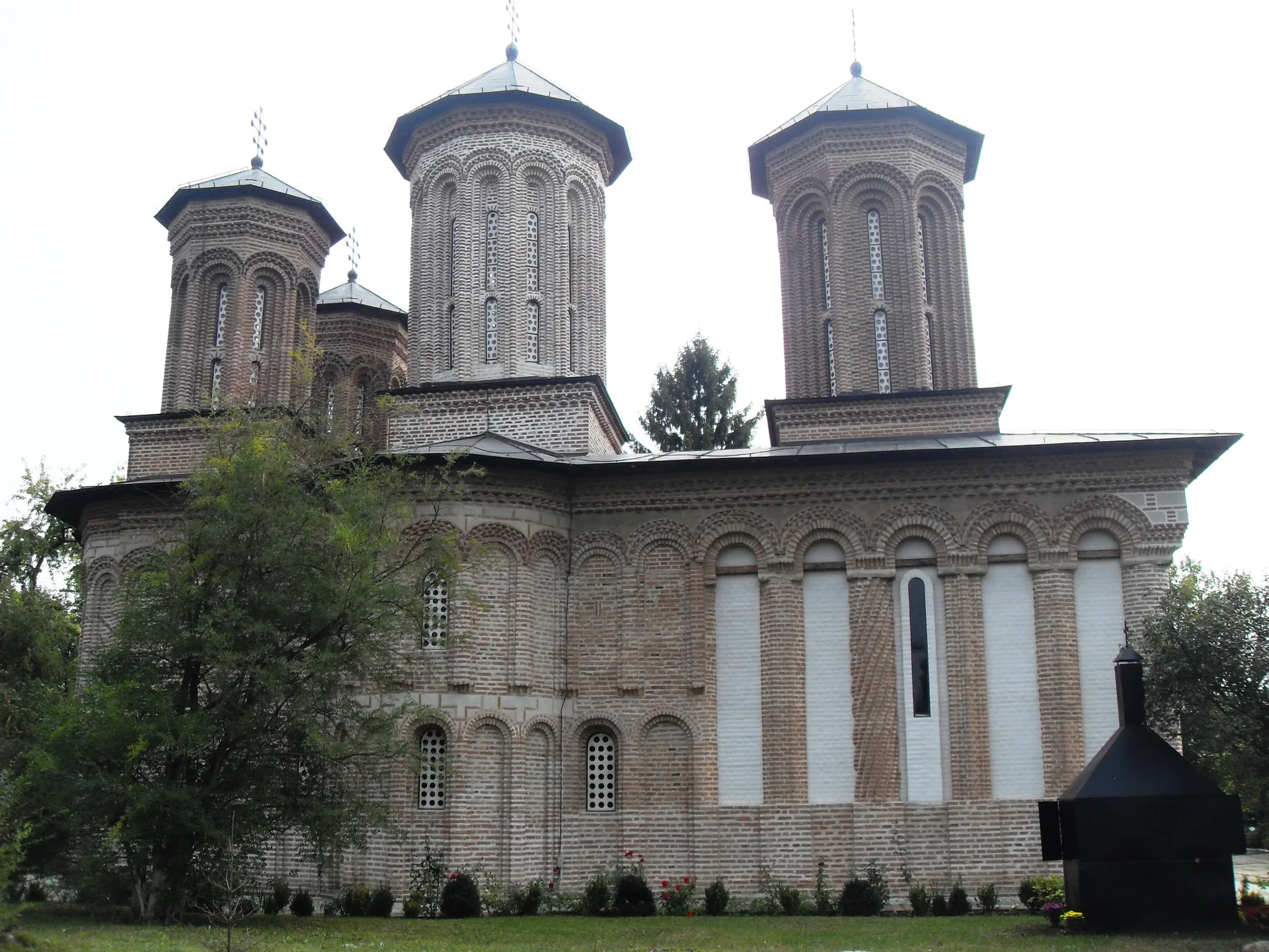
Photo: Ferran Cornellà, CC BY-SA 3.0, via Wikimedia Commons · CC BY-SA 3.0 · Source
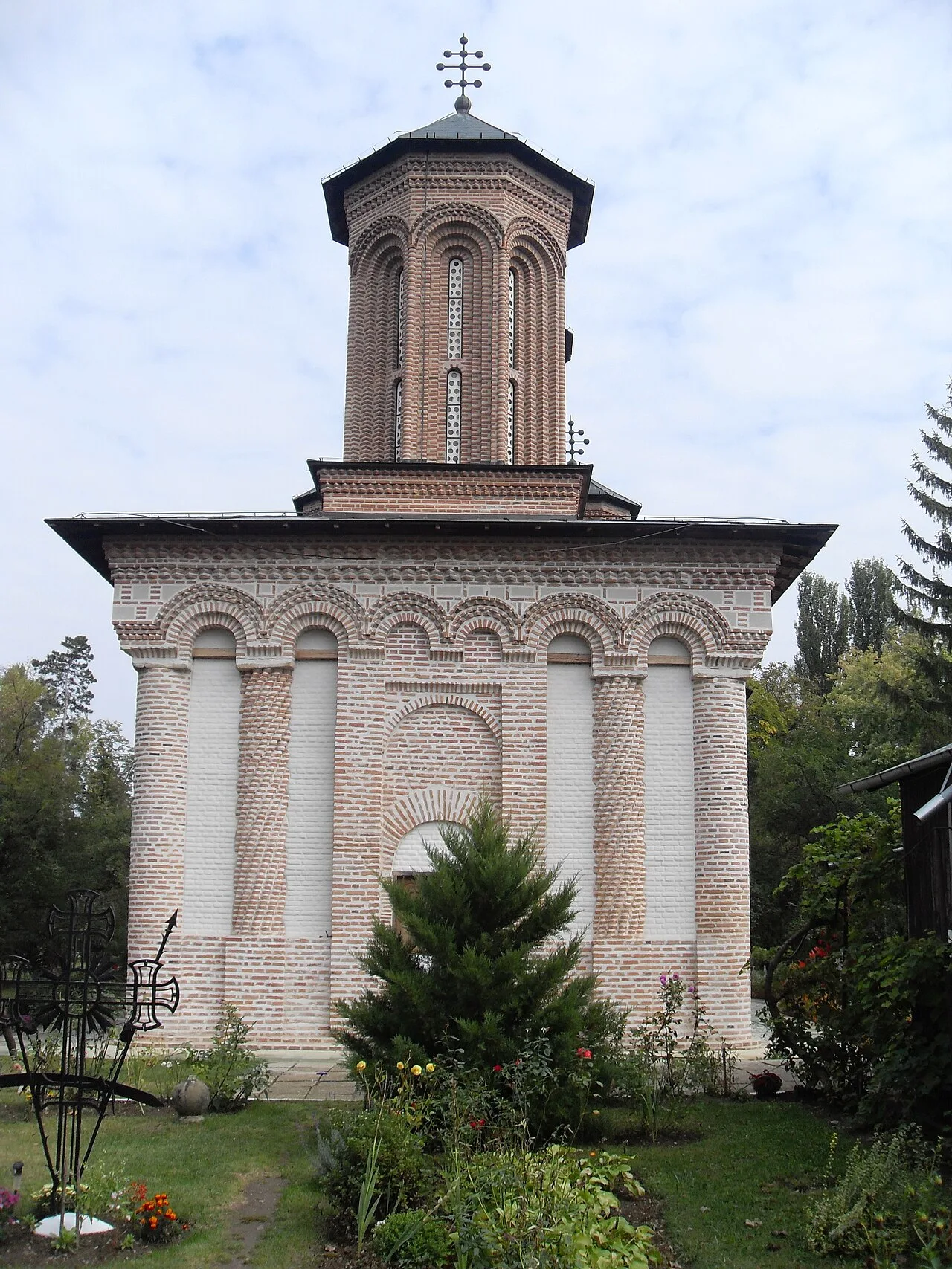
Photo: Ferran Cornellà, CC BY-SA 3.0, via Wikimedia Commons · CC BY-SA 3.0 · Source
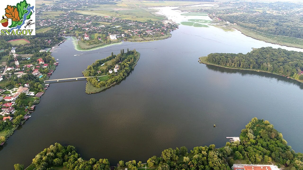
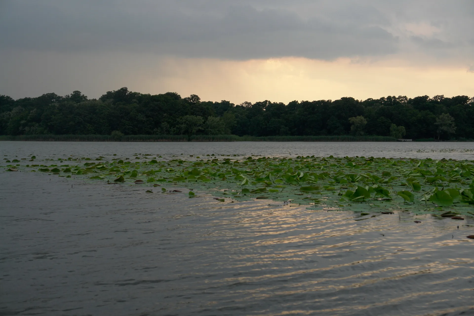
Photo: Constantin Turmac, CC BY-SA 4.0, via Wikimedia Commons · CC BY-SA 4.0 · Source
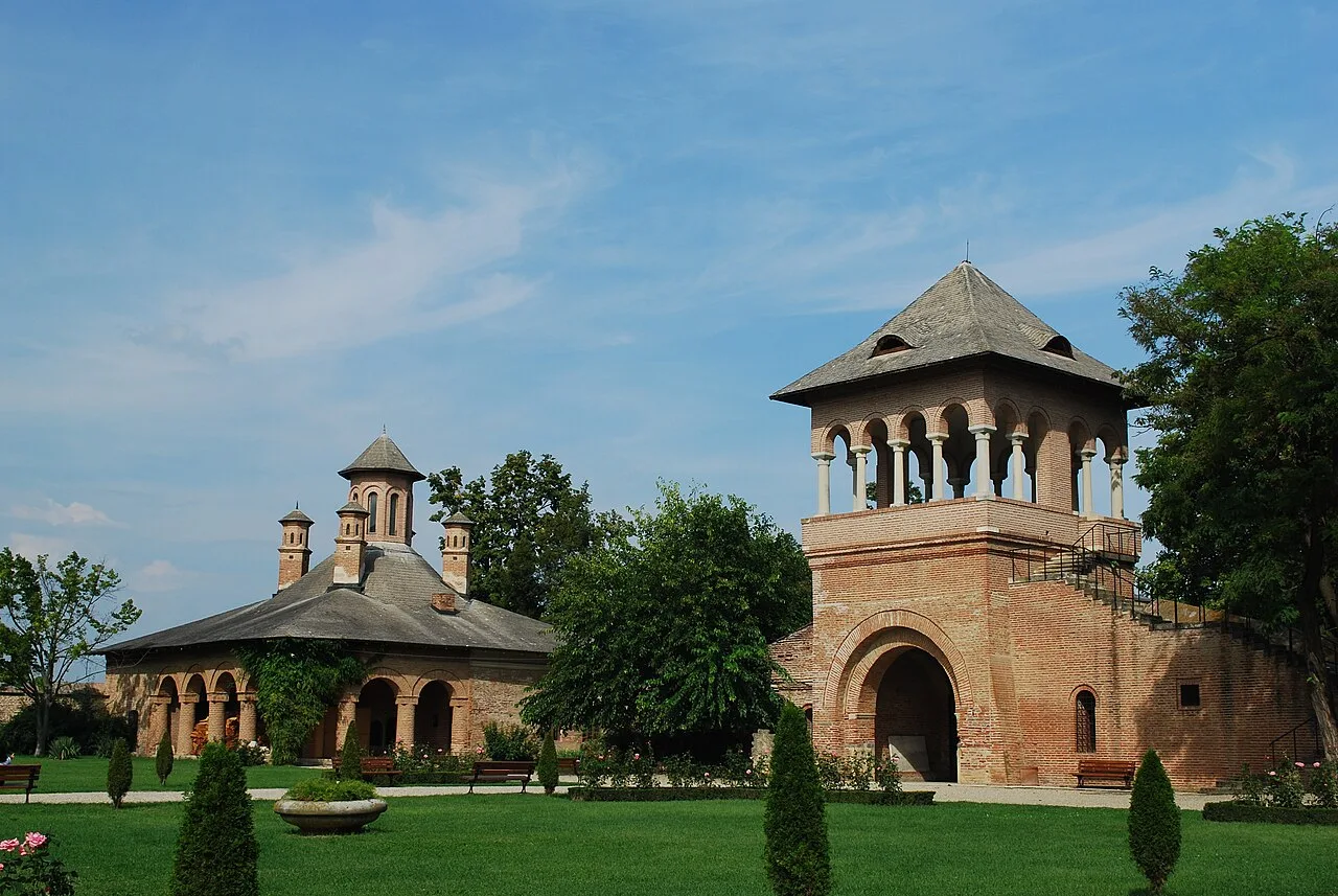
Photo: Radu Ana Maria, CC BY-SA 3.0, via Wikimedia Commons · CC BY-SA 3.0 · Source
Jump to visit notes
Visit notes
Viewing visit notes for Măcin Mountains granite ridges and the Lower Danube
Vârful Țuțuiatu
Step 5 · 16 km from previous · 17 min drive
Highest point of the Măcin Mountains, reached on an official blue-triangle trail from Greci The marker is placed from the research catalog and should be checked against current access conditions before.