.jpg)
Overview
Access point for marked Cozia National Park hikes, including routes toward Stănișoara, Cabana Cozia and Cozia Peak The marker is placed from the research catalog and should be checked against current access conditions before departure.
Location and maps
Use the map to place this stop, then choose a provider for directions.
These links open only this place, not a full road-trip route. Links open in a new tab. 2GIS opens the map point; start navigation there.
Gallery
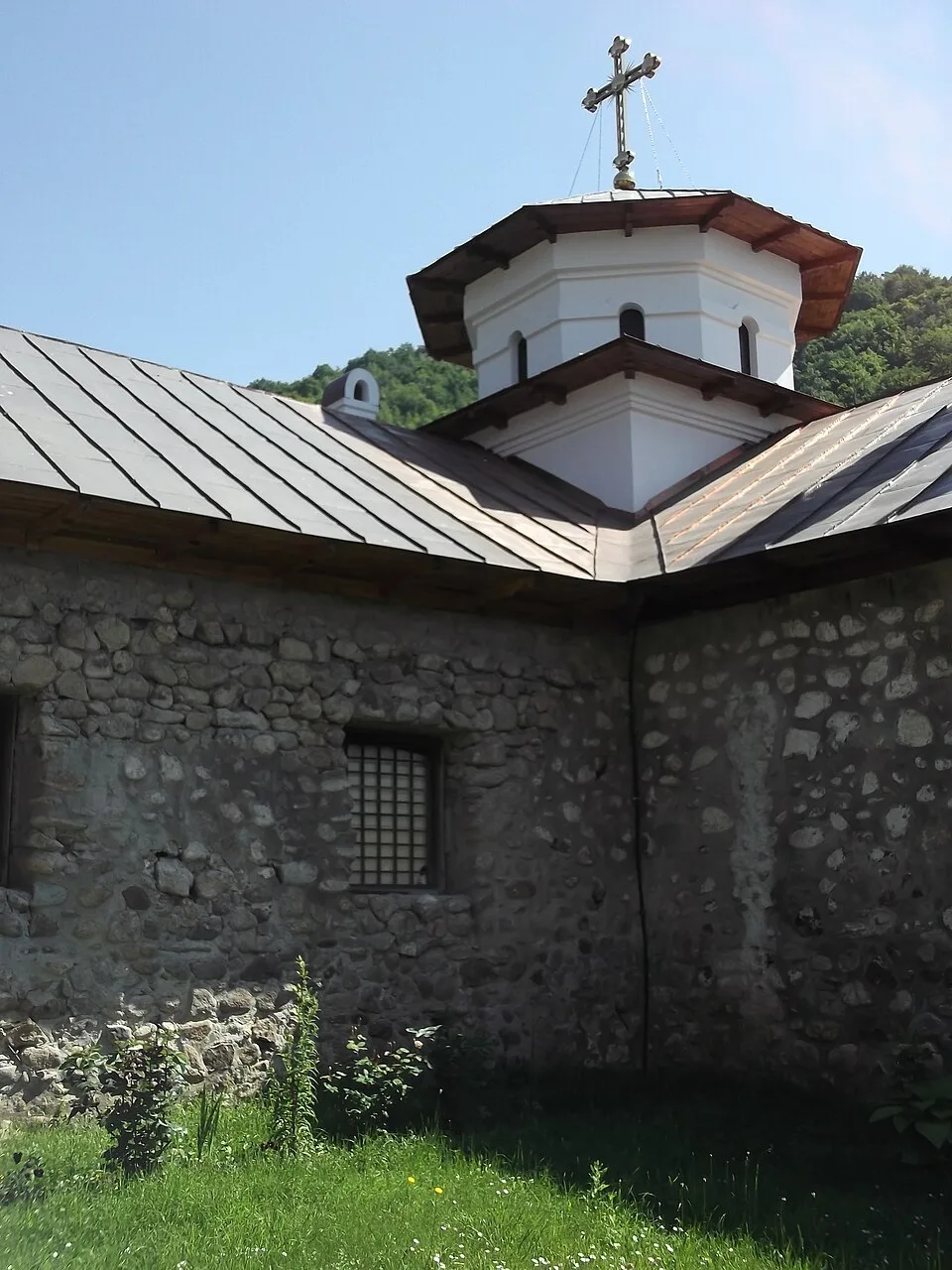
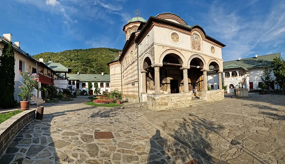
Photo: Sîmbotin, CC BY-SA 4.0, via Wikimedia Commons · CC BY-SA 4.0 · Source
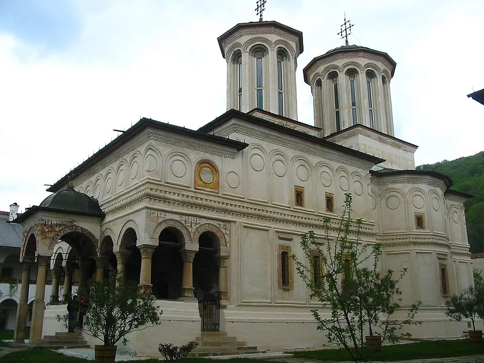
Photo: Cristian Chirita, GFDL/Commons migration license, via Wikimedia Commons · GFDL-self, migration relicensing noted on Commons · Source
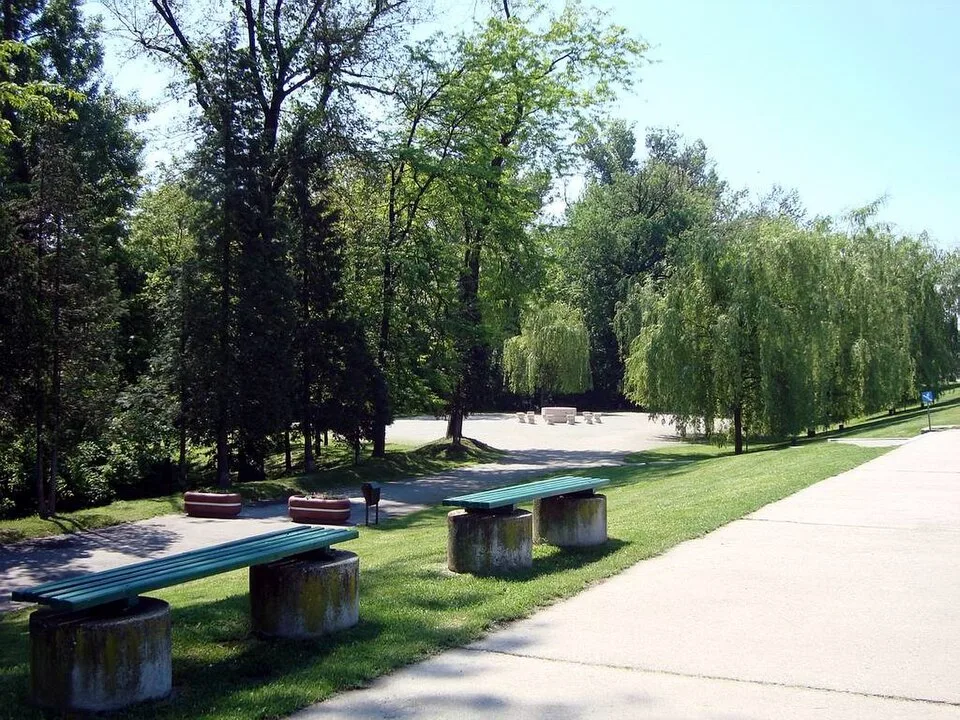
Photo: Tomoniu N. Nicolae, CC BY-SA 3.0 RO, via Wikimedia Commons · CC BY-SA 3.0 RO · Source
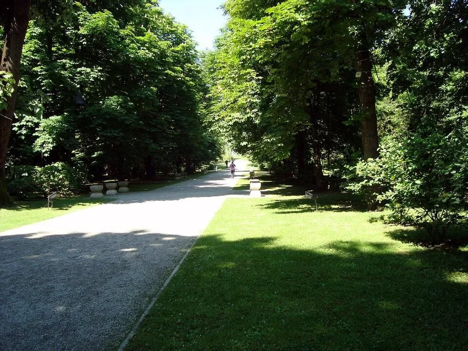
Photo: Tomoniu N. Nicolae, CC BY-SA 3.0 RO, via Wikimedia Commons · CC BY-SA 3.0 RO · Source
Jump to visit notes
Visit notes
Viewing visit notes for Cozia and Sibiu through the Olt Valley
Turnu Monastery / Cozia trailhead
Step 3 · 3 km from previous · 15 min drive

Access point for marked Cozia National Park hikes, including routes toward Stănișoara, Cabana Cozia and Cozia Peak The marker is placed from the research catalog and should be checked against current access conditions before.