
Overview
Main road-accessible base for licensed boat trips into the Danube Delta Biosphere Reserve The marker is placed from the research catalog and should be checked against current access conditions before departure.
Location and maps
Use the map to place this stop, then choose a provider for directions.
These links open only this place, not a full road-trip route. Links open in a new tab. 2GIS opens the map point; start navigation there.
Gallery
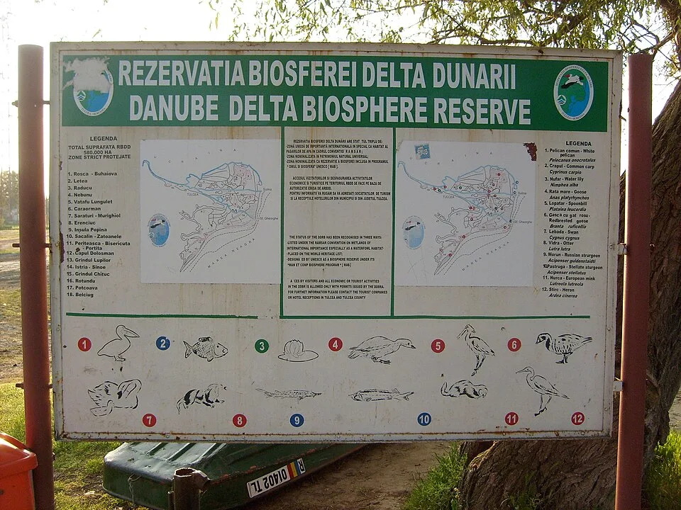
Photo: Ben Skála, Benfoto, CC BY-SA 4.0, via Wikimedia Commons · CC BY-SA 4.0 · Source
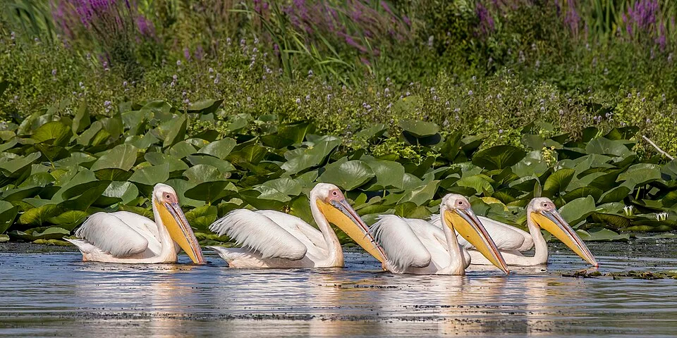
Photo: Charles J. Sharp, CC BY-SA 4.0, via Wikimedia Commons · CC BY-SA 4.0 · Source
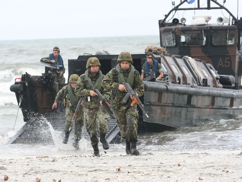
Photo: Mihai Egorov (MAPN), CC BY-SA 3.0, via Wikimedia Commons · CC BY-SA 3.0 · Source
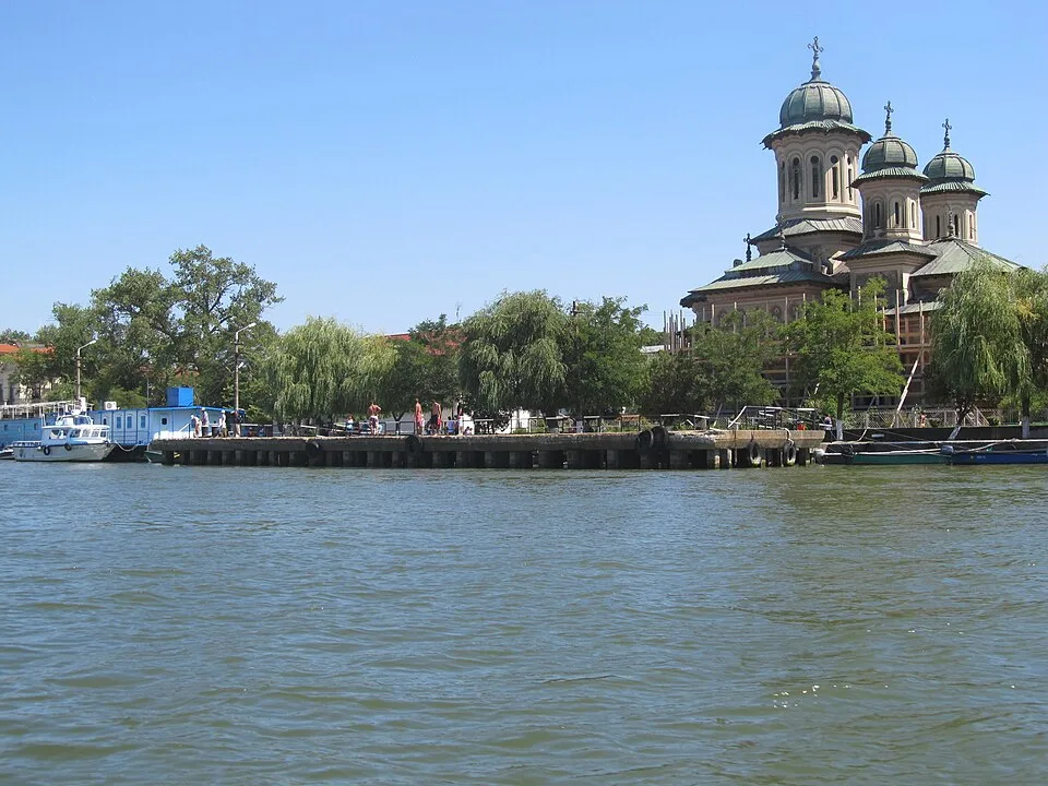
Photo: Nenea hartia, CC BY-SA 4.0, via Wikimedia Commons · CC BY-SA 4.0 · Source
_Danube_delta.jpg)
Jump to visit notes
Visit notes
Viewing visit notes for Măcin Mountains granite ridges and the Lower Danube
Tulcea waterfront and Delta gateway
Step 6 · 54 km from previous · 59 min drive
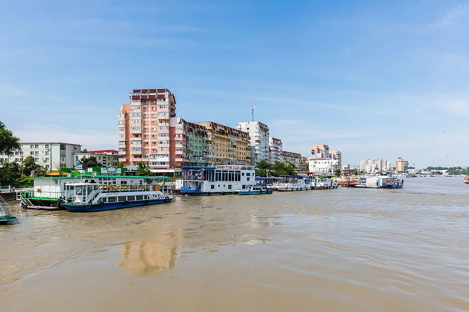
Main road-accessible base for licensed boat trips into the Danube Delta Biosphere Reserve The marker is placed from the research catalog and should be checked against current access conditions before.
Viewing visit notes for Tulcea gateway and Danube Delta boat channels
Tulcea waterfront and Delta gateway
Step 2 · 307 km from previous · 335 min drive

Main road-accessible base for licensed boat trips into the Danube Delta Biosphere Reserve The marker is placed from the research catalog and should be checked against current access conditions before.