
_(51879941296).jpg)
Overview
The hillside above Brașov gives the best orientation view over the Saxon old town, but the trail/cable-car option is weather-dependent The marker is placed from the research catalog and should be checked against current access conditions before departure.
Location and maps
Use the map to place this stop, then choose a provider for directions.
These links open only this place, not a full road-trip route. Links open in a new tab. 2GIS opens the map point; start navigation there.
Gallery

Brașov panorama by Pudelek (Marcin Szala), CC BY-SA 3.0, via Wikimedia Commons · CC BY-SA 3.0 · Source
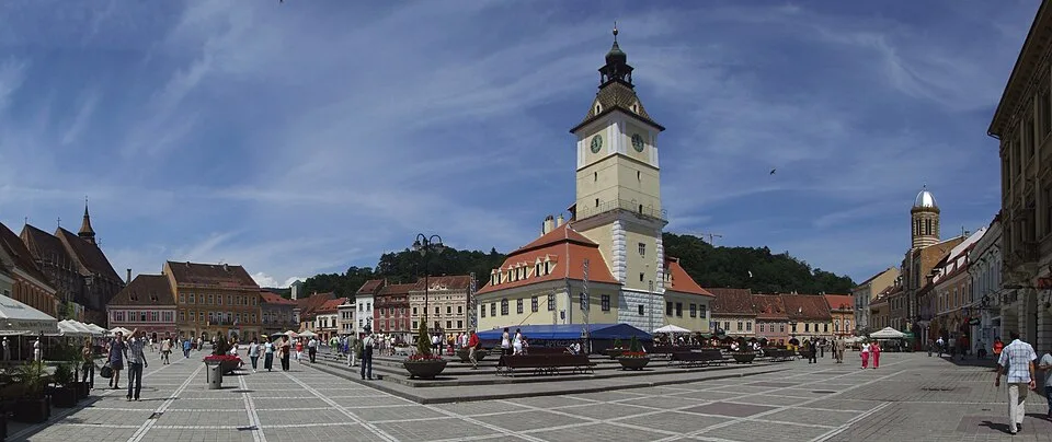
Piața Sfatului, Brașov by Pudelek (Marcin Szala), CC BY-SA 3.0, via Wikimedia Commons · CC BY-SA 3.0 · Source
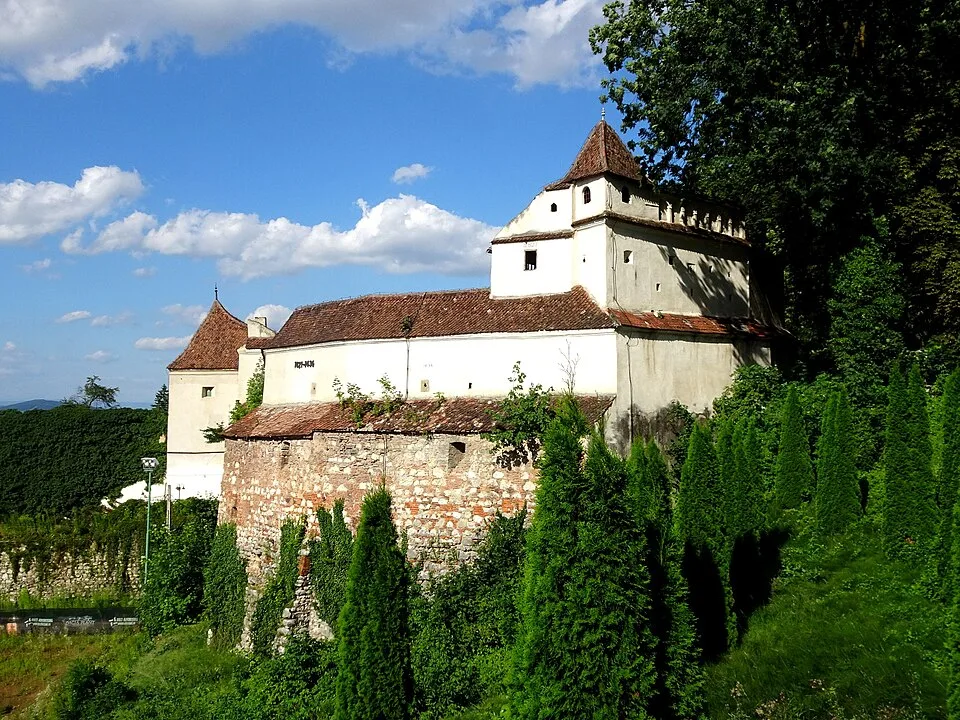
Weavers' Bastion, Brașov by Whitepixels, CC0, via Wikimedia Commons · CC0 · Source
Fortified church in Viscri by Pudelek (Marcin Szala), CC BY-SA 4.0, via Wikimedia Commons · CC BY-SA 4.0 · Source
_-_market_square.jpg)
,_Transylvania.jpg)
Jump to visit notes
Visit notes
Viewing visit notes for Țara Bârsei fortified churches and Brașov
Tâmpa viewpoint and trailhead
Step 6 · 30 km from previous · 33 min drive
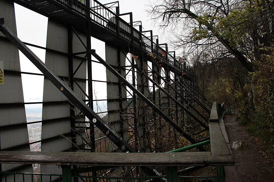
Optional nearby stop. The hillside above Brașov gives the best orientation view over the Saxon old town, but the trail/cable-car option is weather-dependent The marker is placed from the research catalog and should be checked against current access conditions before.