
Overview
Muntele Roșu is the practical trailhead for the close Carpathian route: park carefully, check weather and choose a walk that matches daylight and fitness.
Location and maps
Use the map to place this stop, then choose a provider for directions.
These links open only this place, not a full road-trip route. Links open in a new tab. 2GIS opens the map point; start navigation there.
Gallery
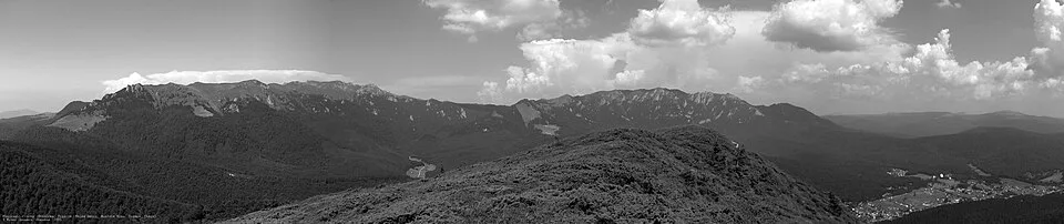
Cheia1A by Mihai Oprescu, CC BY 2.5, via Wikimedia Commons · CC BY 2.5 · Source
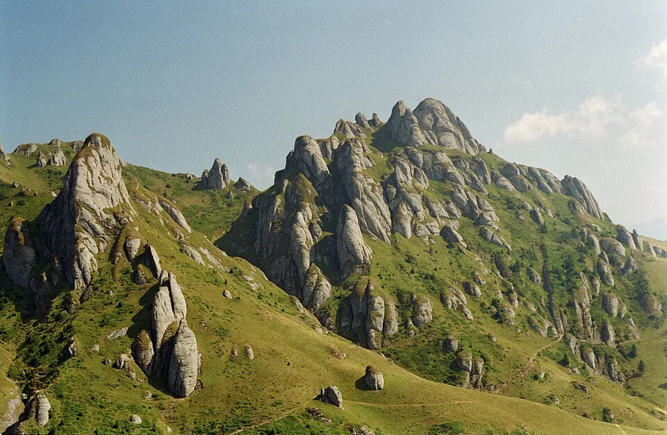
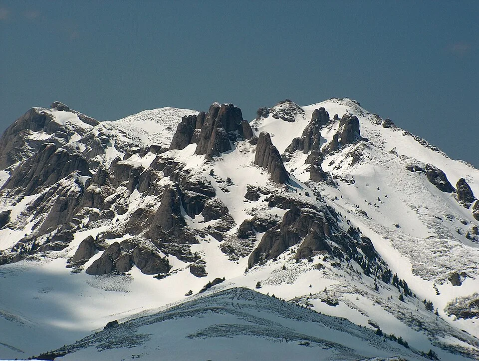
Ciucaș mountains by Petr Vodička, CC BY-SA 4.0, via Wikimedia Commons · CC BY-SA 4.0 · Source
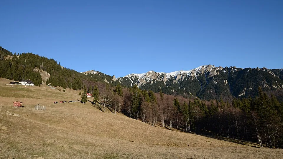
Culmea Gropșoarele-Zăganu by Razvan Socol, CC BY-SA 4.0, via Wikimedia Commons · CC BY-SA 4.0 · Source
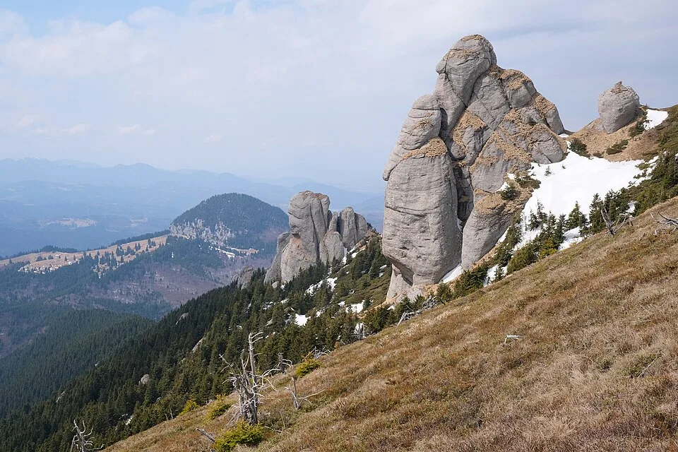
Ciucaș Mountains 10 by kallerna, CC BY-SA 4.0, via Wikimedia Commons · CC BY-SA 4.0 · Source
Jump to visit notes
Visit notes
Viewing visit notes for Ciucaș and the Teleajen mountain road
Muntele Roșu, Ciucaș
Step 3 · 18 km from previous · 40 min drive
Park and choose the day’s realistic route: a valley walk, a ridge section or a hut-to-hut objective.