Overview
Gropșoarele-Zăganu is the route’s more active ridge choice; it belongs on the plan only when weather, daylight and hiking ability are aligned.
Location and maps
Use the map to place this stop, then choose a provider for directions.
These links open only this place, not a full road-trip route. Links open in a new tab. 2GIS opens the map point; start navigation there.
Gallery
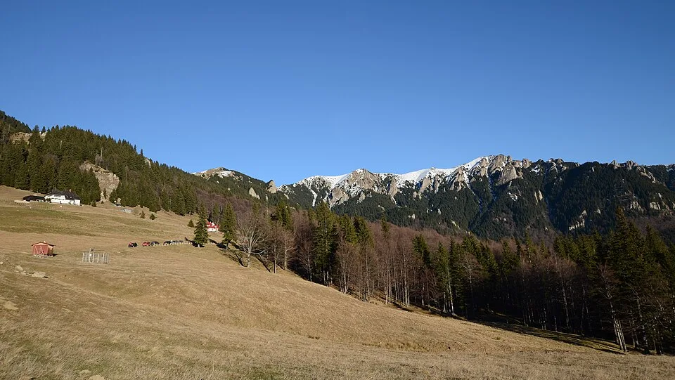
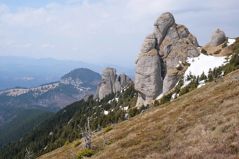
Cheia1A by Mihai Oprescu, CC BY 2.5, via Wikimedia Commons · CC BY 2.5 · Source
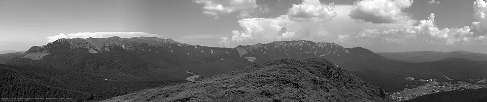
Ciucas by Mlefter, CC BY-SA 3.0, via Wikimedia Commons · CC BY-SA 3.0 · Source
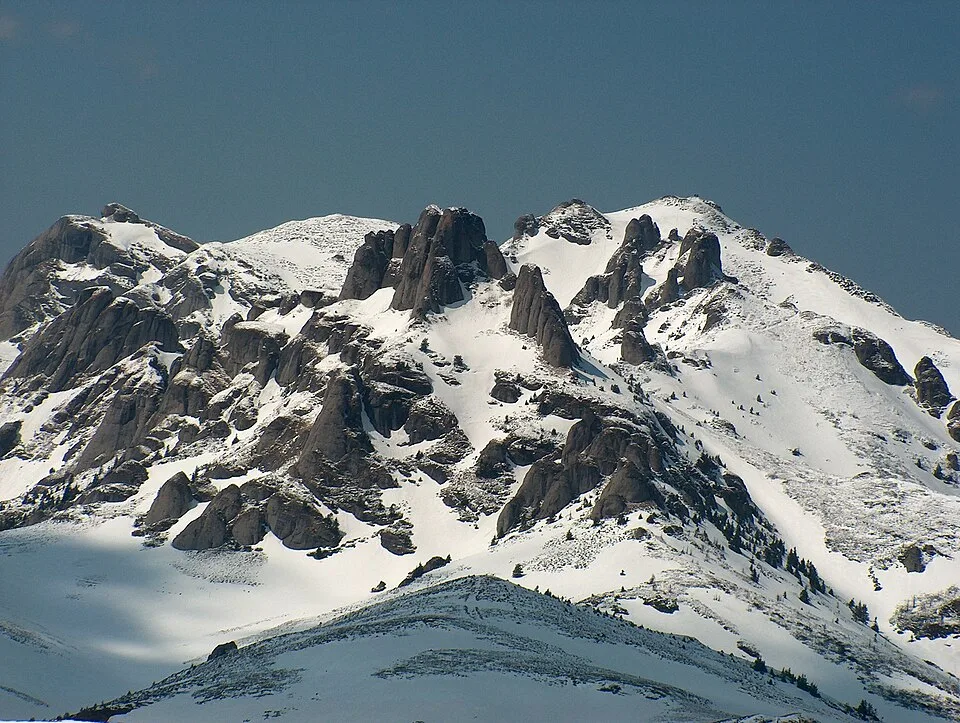
Ciucaș mountains by Petr Vodička, CC BY-SA 4.0, via Wikimedia Commons · CC BY-SA 4.0 · Source
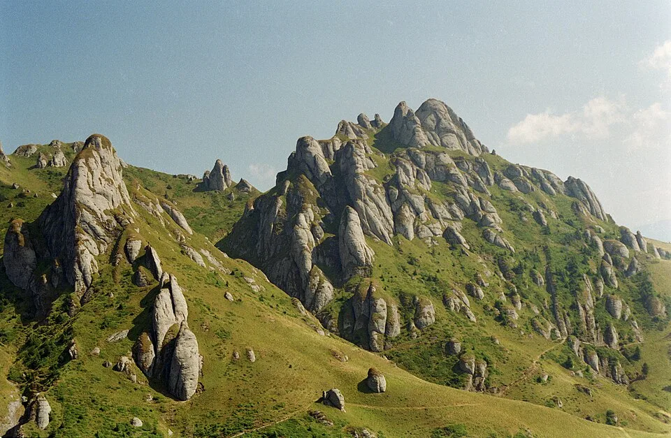
Ciucaș Mountains 10 by kallerna, CC BY-SA 4.0, via Wikimedia Commons · CC BY-SA 4.0 · Source
Jump to visit notes
Visit notes
Viewing visit notes for Ciucaș and the Teleajen mountain road
Gropșoarele-Zăganu ridge
Step 5 · 5 km from previous · 0 min drive

Choose this ridge option only with stable weather and enough daylight; it is the more exposed alternative to the Ciucaș Peak hut-area walk.