Overview
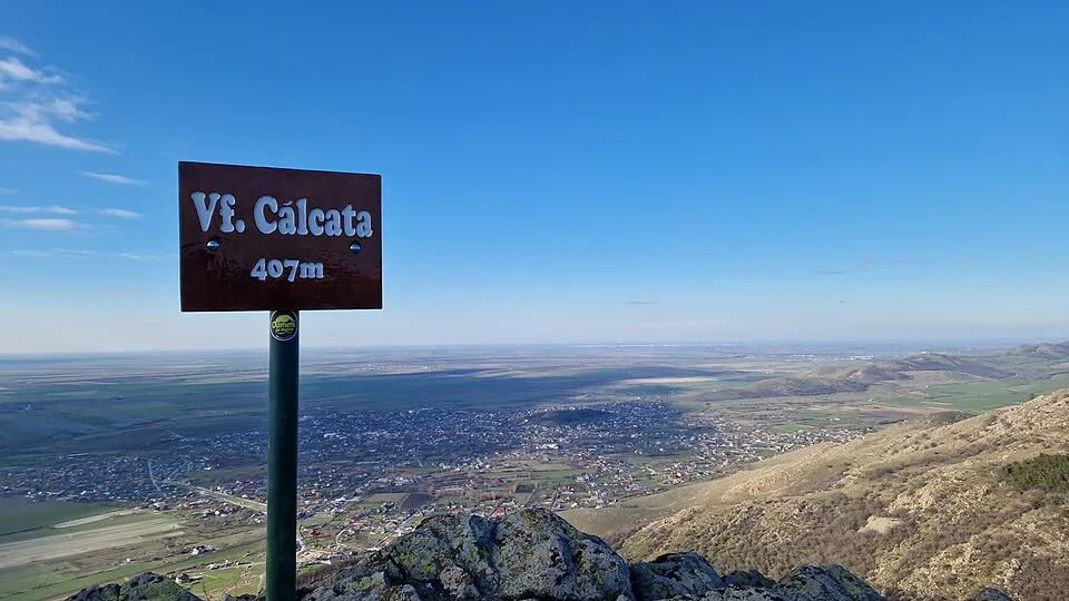
Main village approach for hikes to Tutuiatu, the highest point of the Macin Mountains The marker is placed from the research catalog and should be checked against current access conditions before departure.
Location and maps
Use the map to place this stop, then choose a provider for directions.
These links open only this place, not a full road-trip route. Links open in a new tab. 2GIS opens the map point; start navigation there.
Gallery
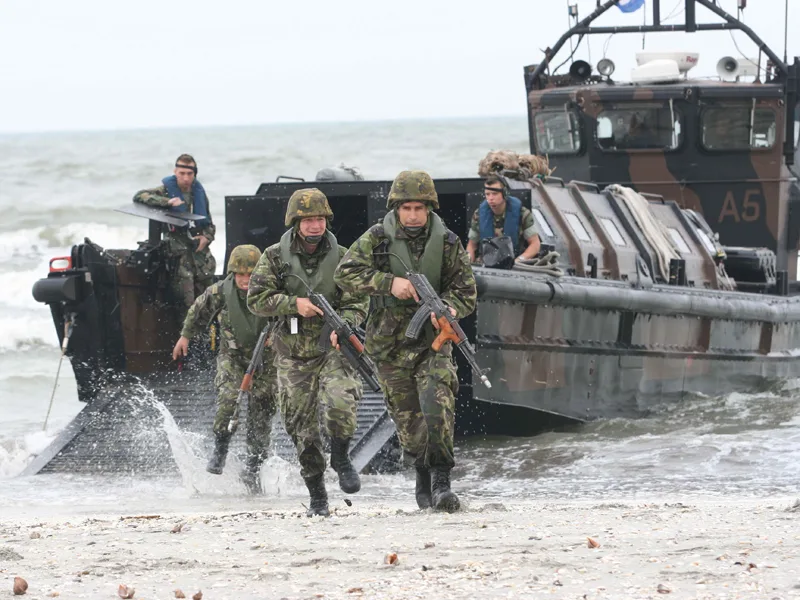
Photo: Mihai Egorov (MAPN), CC BY-SA 3.0, via Wikimedia Commons · CC BY-SA 3.0 · Source

Photo: Diego Delso, CC BY-SA 4.0, via Wikimedia Commons · CC BY-SA 4.0 · Source
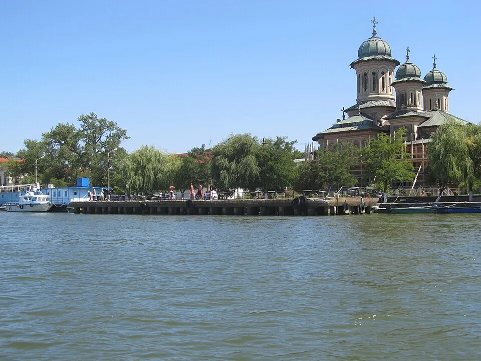
Photo: Nenea hartia, CC BY-SA 4.0, via Wikimedia Commons · CC BY-SA 4.0 · Source
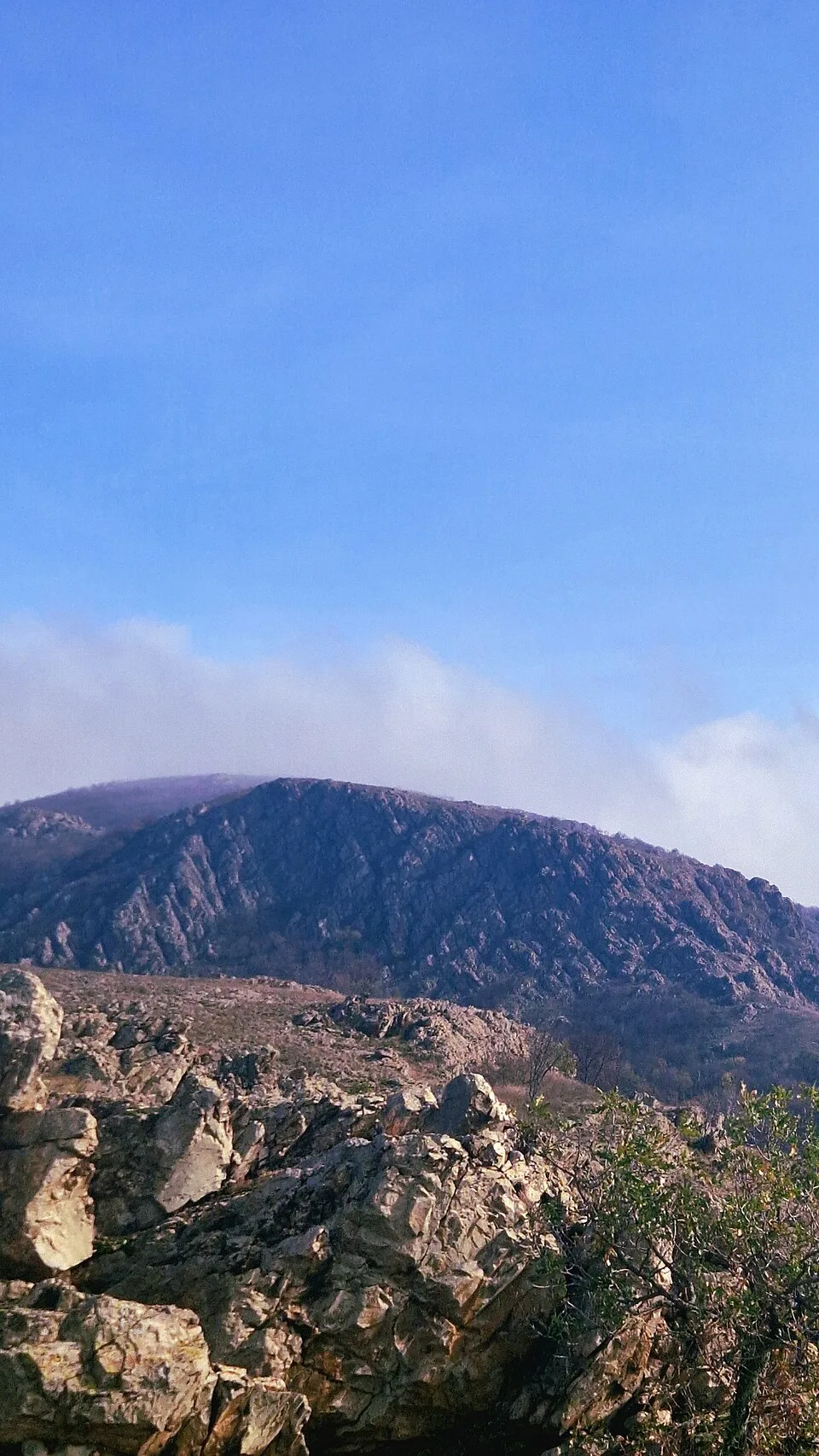
Photo: SqueekRO, CC BY-SA 4.0, via Wikimedia Commons · CC BY-SA 4.0 · Source
Jump to visit notes
Visit notes
Viewing visit notes for Măcin Mountains granite ridges and the Lower Danube
Greci / Tutuiatu trailhead
Step 3 · 14 km from previous · 15 min drive

Main village approach for hikes to Tutuiatu, the highest point of the Macin Mountains The marker is placed from the research catalog and should be checked against current access conditions before.