
Overview
Working riverfront area on the left bank of the Danube, useful for understanding Giurgiu as a port rather than only a monument stop The marker is placed from the research catalog and should be checked against current access conditions before departure.
Location and maps
Use the map to place this stop, then choose a provider for directions.
These links open only this place, not a full road-trip route. Links open in a new tab. 2GIS opens the map point; start navigation there.
Gallery
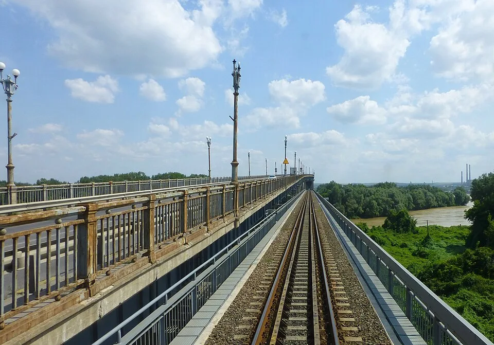
Photo: Mark Voorendt (MarkZV), CC BY-SA 4.0, via Wikimedia Commons · CC BY-SA 4.0 · Source
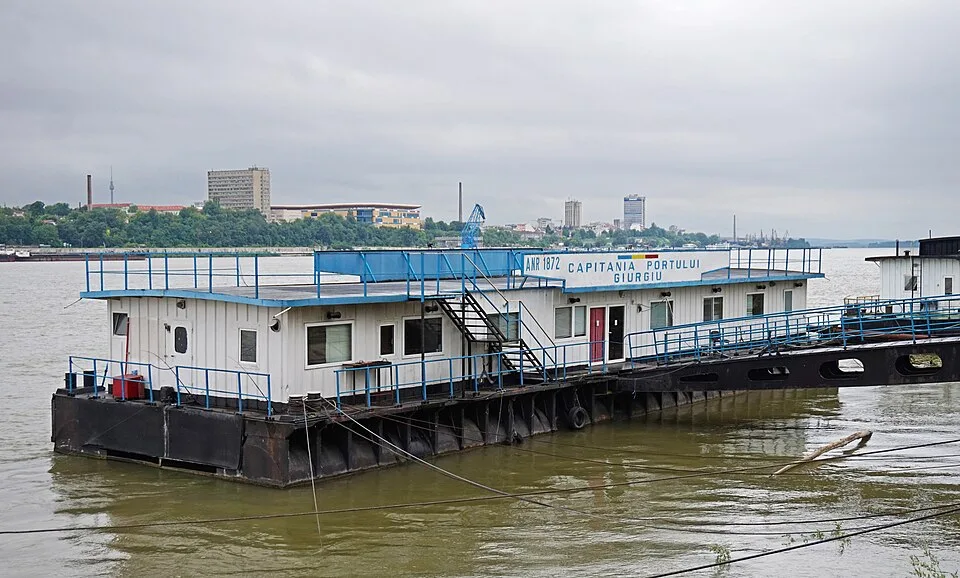
Photo: Timo Felber (Kulmalukko), CC BY-SA 4.0, via Wikimedia Commons · CC BY-SA 4.0 · Source
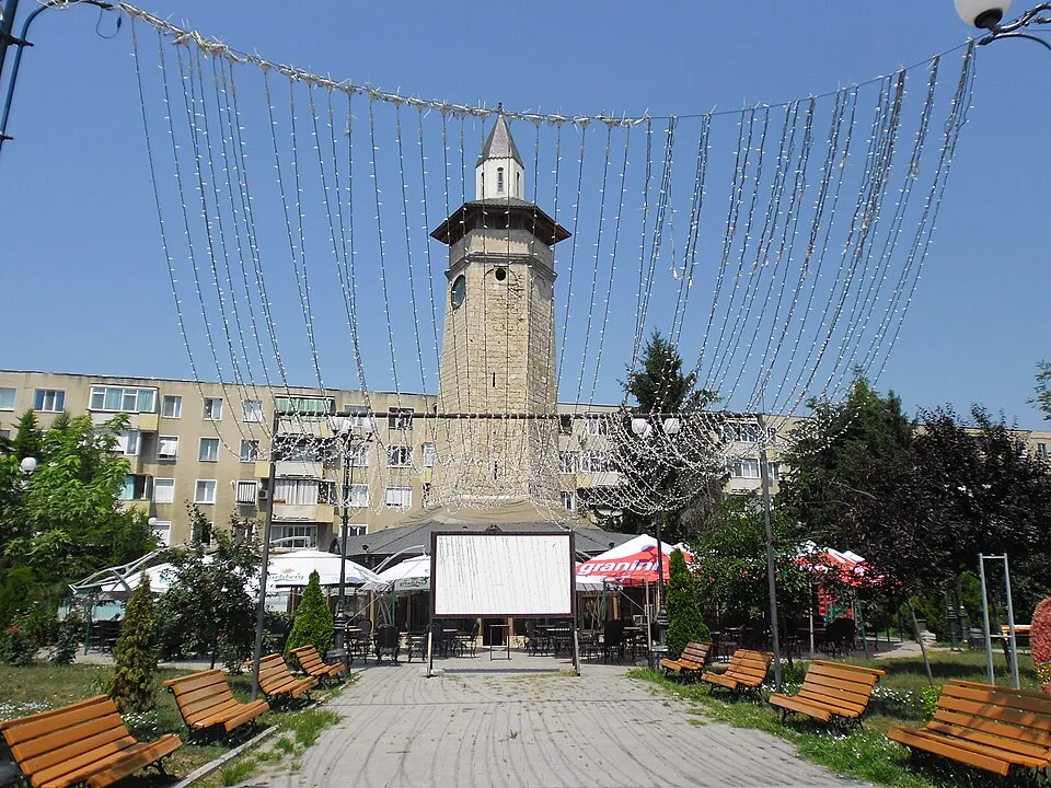
Photo: Stancosty, CC BY-SA 3.0 ro, via Wikimedia Commons · CC BY-SA 3.0 ro · Source
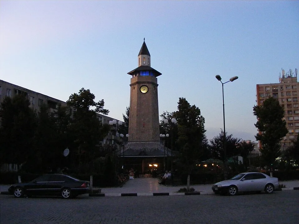
Photo: Jgabios, CC BY-SA 3.0, via Wikimedia Commons · CC BY-SA 3.0 · Source
Jump to visit notes
Visit notes
Viewing visit notes for Wetland-to-Danube loop: Comana and Giurgiu
Giurgiu port and Danube bank
Step 5 · 2 km from previous · 15 min drive
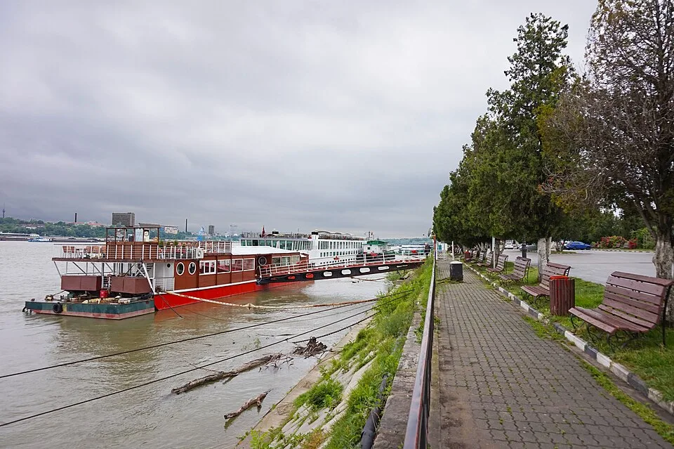
Working riverfront area on the left bank of the Danube, useful for understanding Giurgiu as a port rather than only a monument stop The marker is placed from the research catalog and should be checked against current access conditions before.