
Overview
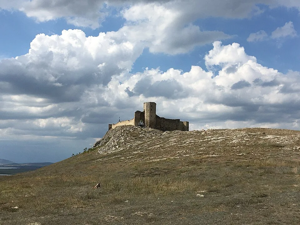
Medieval hilltop fortress above Lake Razim, one of Dobrogea's clearest landscape-history viewpoints The marker is placed from the research catalog and should be checked against current access conditions before departure.
Location and maps
Use the map to place this stop, then choose a provider for directions.
These links open only this place, not a full road-trip route. Links open in a new tab. 2GIS opens the map point; start navigation there.
Gallery
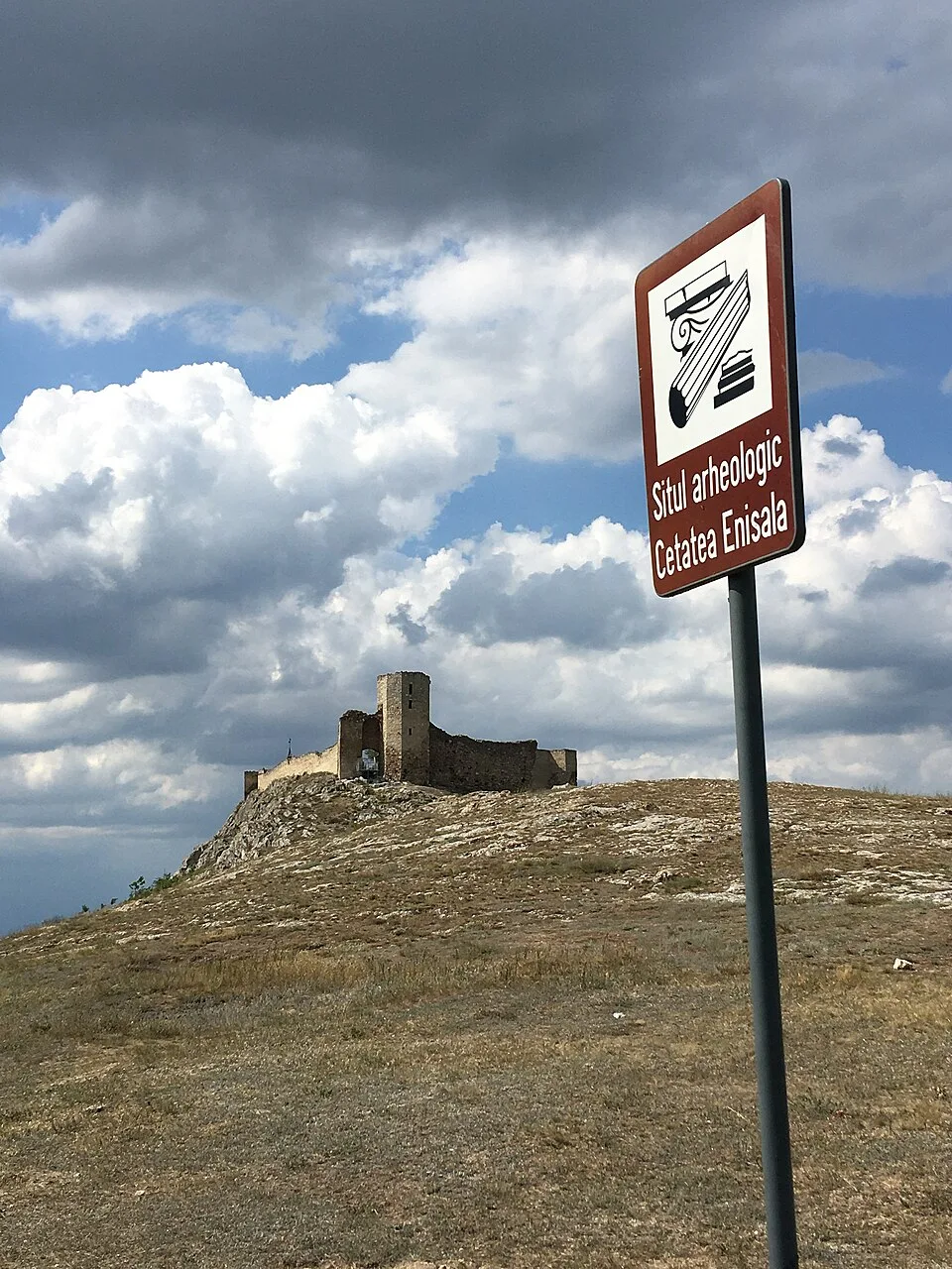
Photo: CrisNYCa, CC BY-SA 4.0, via Wikimedia Commons · CC BY-SA 4.0 · Source
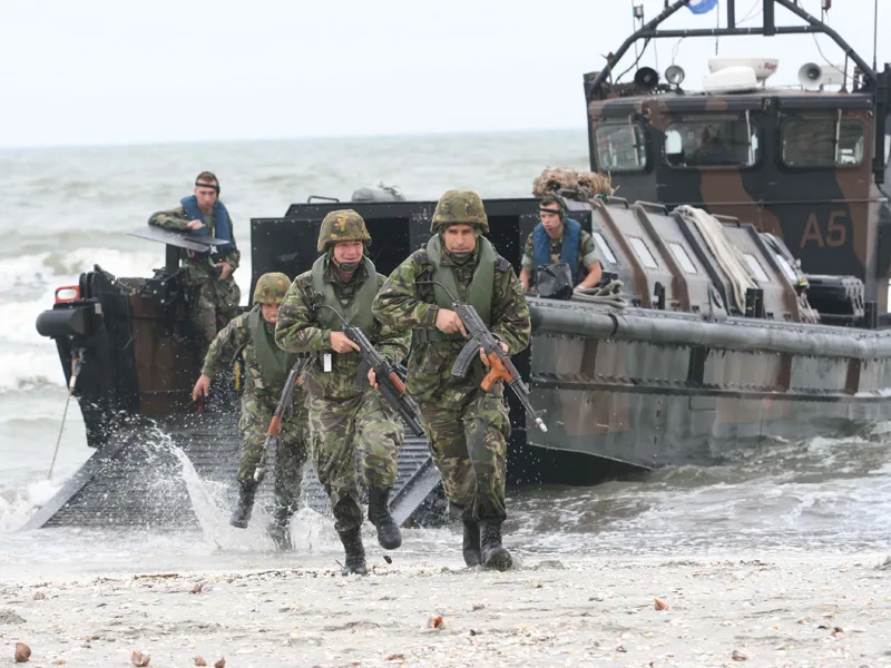
Photo: Mihai Egorov (MAPN), CC BY-SA 3.0, via Wikimedia Commons · CC BY-SA 3.0 · Source
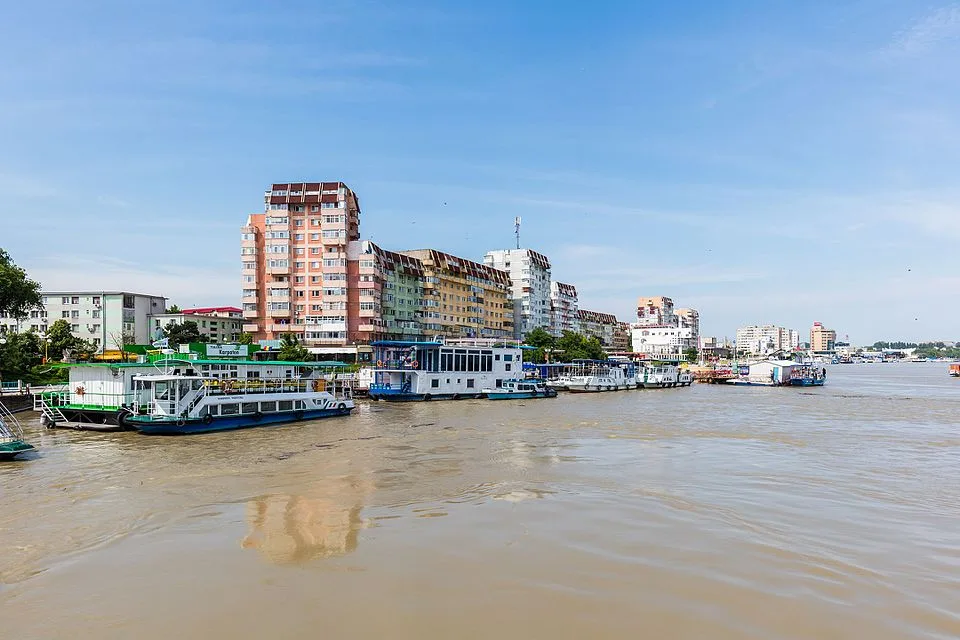
Photo: Diego Delso, CC BY-SA 4.0, via Wikimedia Commons · CC BY-SA 4.0 · Source

Photo: Nenea hartia, CC BY-SA 4.0, via Wikimedia Commons · CC BY-SA 4.0 · Source
Jump to visit notes
Visit notes
Viewing visit notes for Razim-Sinoe lagoons, Enisala and Dobrogea's medieval ridge
Enisala Fortress
Step 5 · 23 km from previous · 25 min drive

Medieval hilltop fortress above Lake Razim, one of Dobrogea's clearest landscape-history viewpoints The marker is placed from the research catalog and should be checked against current access conditions before.
Viewing visit notes for Tulcea gateway and Danube Delta boat channels
Enisala Fortress
Step 6 · 63 km from previous · 69 min drive
Medieval hilltop fortress above Lake Razim, one of Dobrogea's clearest landscape-history viewpoints The marker is placed from the research catalog and should be checked against current access conditions before.