
.jpg)
Overview
Protected mountain area above the Olt Valley with official marked trails and significant elevation gain The marker is placed from the research catalog and should be checked against current access conditions before departure.
Location and maps
Use the map to place this stop, then choose a provider for directions.
These links open only this place, not a full road-trip route. Links open in a new tab. 2GIS opens the map point; start navigation there.
Gallery

Photo: Cristian-Mihail Miehs, public domain, via Wikimedia Commons · Public domain by author (PD-user-ro) · Source
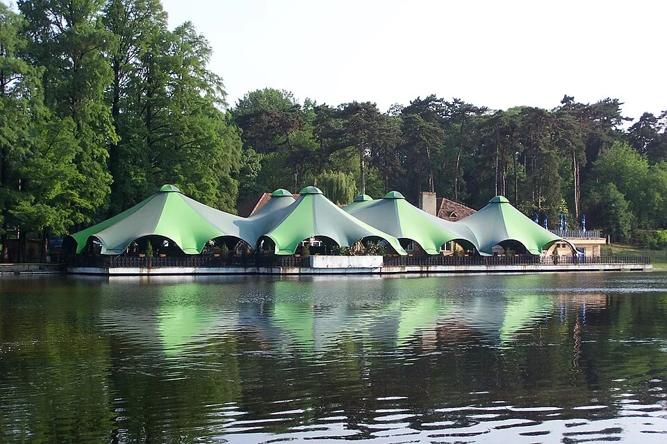
Photo: Mvelam, CC BY-SA/GFDL, via Wikimedia Commons · GFDL + CC BY-SA migrated variants · Source
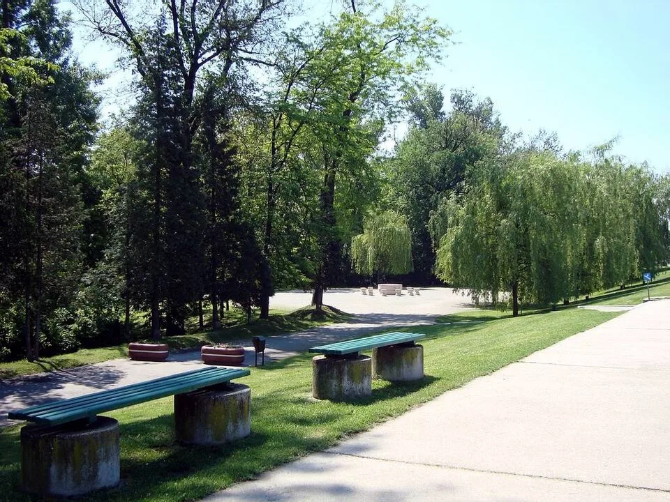
Photo: Tomoniu N. Nicolae, CC BY-SA 3.0 RO, via Wikimedia Commons · CC BY-SA 3.0 RO · Source
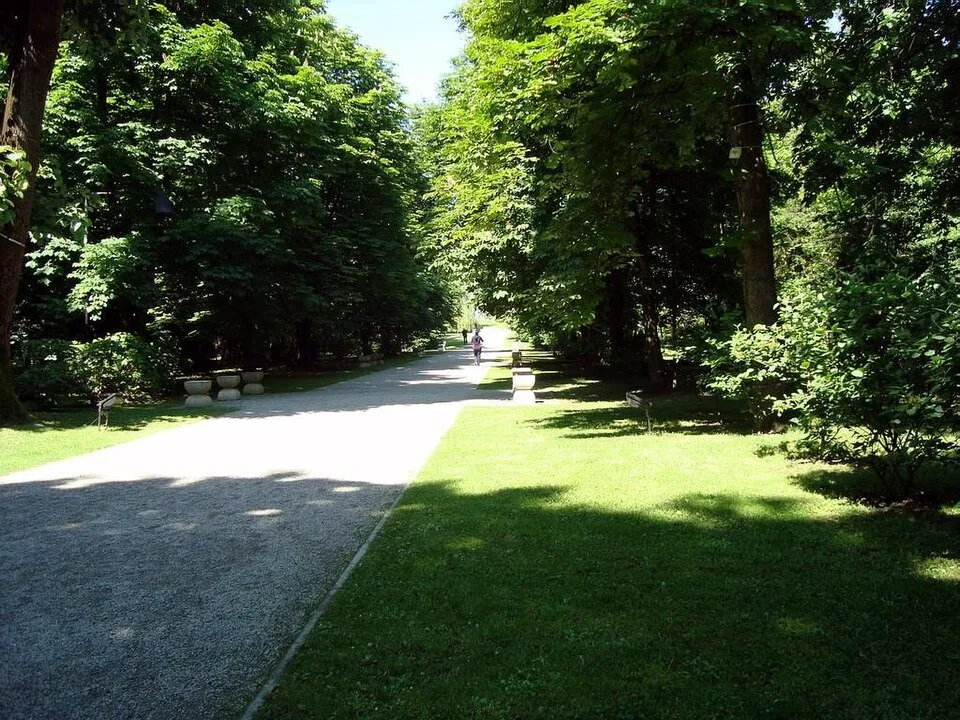
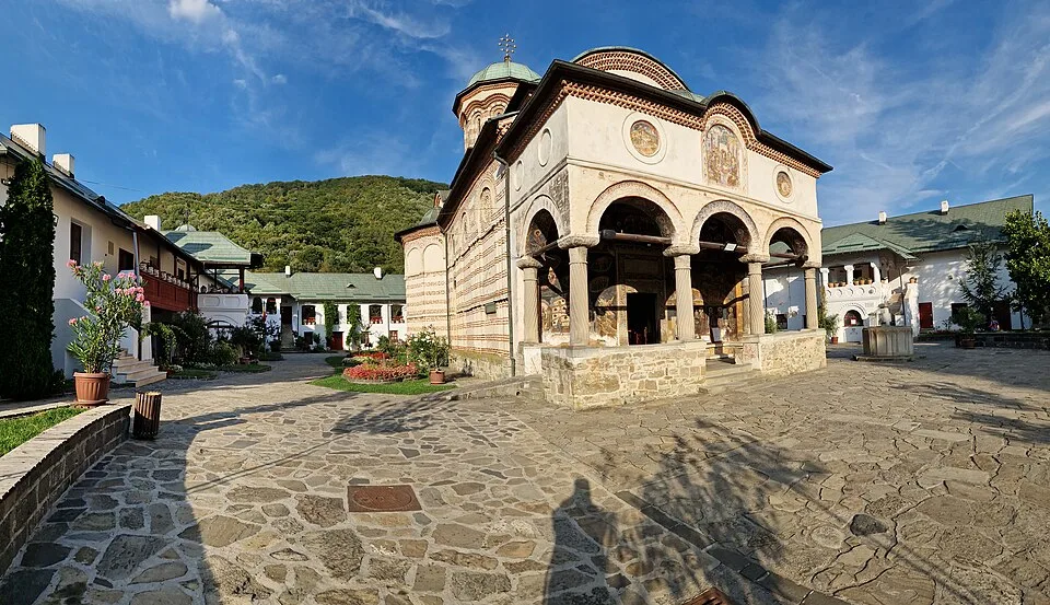
Photo: Tomoniu N. Nicolae, CC BY-SA 3.0 RO, via Wikimedia Commons · CC BY-SA 3.0 RO · Source
Jump to visit notes
Visit notes
Viewing visit notes for Cozia and Sibiu through the Olt Valley
Cozia National Park
Step 4 · 3 km from previous · 15 min drive
Protected mountain area above the Olt Valley with official marked trails and significant elevation gain The marker is placed from the research catalog and should be checked against current access conditions before.