Overview
The Ciucaș Peak area is the main summit objective for experienced hikers on the close Carpathian route; use it as an optional high-effort extension.
Location and maps
Use the map to place this stop, then choose a provider for directions.
These links open only this place, not a full road-trip route. Links open in a new tab. 2GIS opens the map point; start navigation there.
Gallery
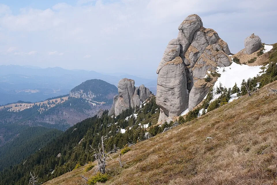
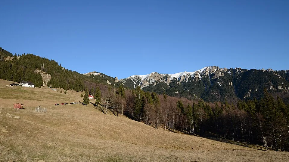
Cheia1A by Mihai Oprescu, CC BY 2.5, via Wikimedia Commons · CC BY 2.5 · Source
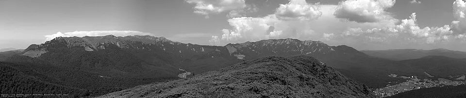
Ciucas by Mlefter, CC BY-SA 3.0, via Wikimedia Commons · CC BY-SA 3.0 · Source
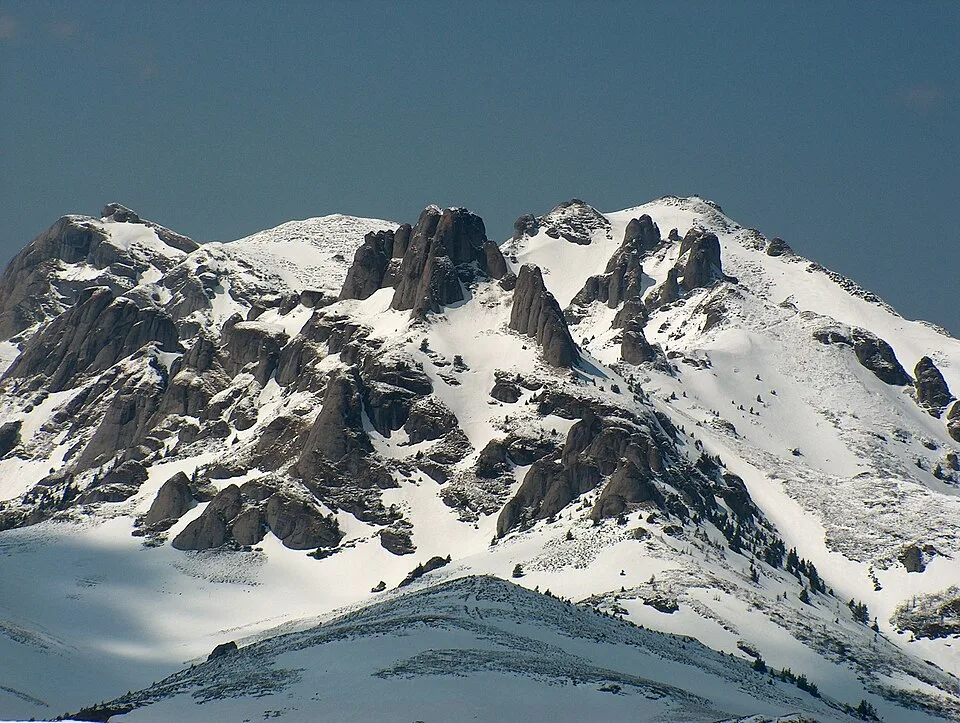
Ciucaș mountains by Petr Vodička, CC BY-SA 4.0, via Wikimedia Commons · CC BY-SA 4.0 · Source
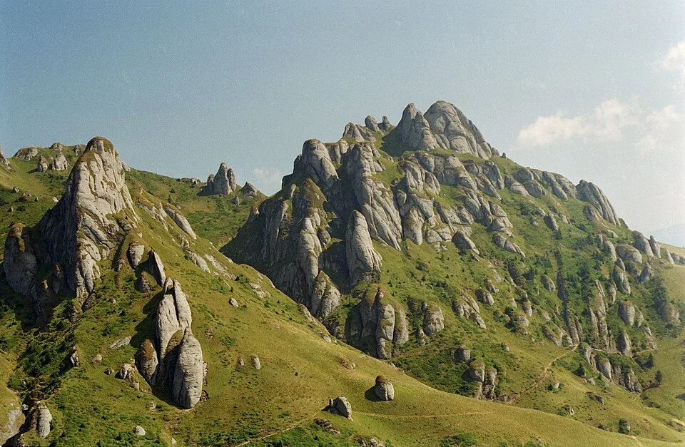
Culmea Gropșoarele-Zăganu by Razvan Socol, CC BY-SA 4.0, via Wikimedia Commons · CC BY-SA 4.0 · Source
Jump to visit notes
Visit notes
Viewing visit notes for Ciucaș and the Teleajen mountain road
Ciucaș Peak area
Step 6 · 5 km from previous · 0 min drive

Choose this high Ciucaș objective instead of the exposed ridge if it better fits the group; shorten it to a hut-area walk when daylight or energy is limited.