
Overview
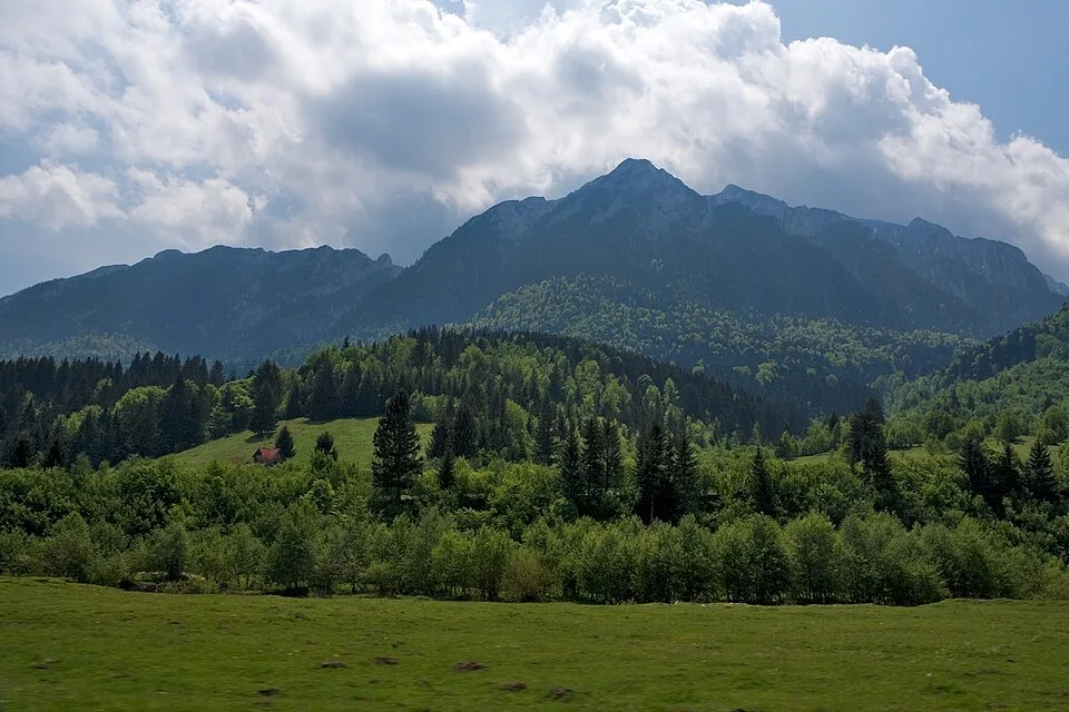
From Cabana Curmătura the yellow-band trail climbs briefly through dwarf pine to Șaua Crăpăturii, a narrow saddle at about 1,620 m where the forest ends and the open rock begins. From here the red-marked 'La Lanțuri' section starts: a short, steep limestone gully secured with fixed chains that gains height quickly and puts hikers directly onto Piatra Craiului's main ridge crest just below Vârful Turnu (1,911 m), the northernmost summit of the massif. The trail then follows the narrow, saw-toothed spine south, scrambling over exposed rock with hands as much as feet, past a subsidiary rock tower in the Turnurile Dianei group and down through the shallow dip of Șaua Padinei Închise (about 1,935 m), to Vârful Padina Popii (2,013 m), the turnaround point of this route. From the crest between Turnu and Padina Popii the ridge falls away steeply on both flanks, though not symmetrically: east, a steep but more open, pastoral slope drops into the more thickly forested Bârsa depression, with the rooftops of Zărnești scattered across the valley floor; west, the ground drops away in the near-vertical limestone palisades of the Western Wall (Peretele Vestic) toward the sparser, rockier upper Dâmbovița valley below Plaiul Foii, with the jagged grey teeth of the ridge itself receding south toward Vârful La Om, the massif's highest point. There is no easier way off the crest at this point, so hikers retrace the same chain-assisted line back down through Șaua Crăpăturii to Curmătura, where the hut's terrace and hot food are a welcome reward at the end of a long, technical day.
At a glance
- Distance
- 7.6 km
- Time
- 6 hr 40 min
- Elevation
- ↑ 620 m · 1470–2013 m
- Route
- Out and back
Route and directions
Numbered markers trace the waypoints from the trailhead. Use the buttons to open the trailhead in an external map app for driving directions. Links open in a new tab.
Access, season, and cautions
Access
From Brașov, drive southwest on DN73A via Râșnov to Zărnești, about 29 km and roughly 35 minutes. From Zărnești, follow signs for Piatra Craiului National Park to the Fântâna lui Botorog trailhead, about 4 km further with the final stretch unpaved but passable; free roadside parking is available there. Cabana Curmătura itself has no road access: the yellow-band trail from Fântâna lui Botorog climbs roughly 620 m over about three hours to reach the hut, which is the true starting point for this ridge route, so many hikers stay overnight at Curmătura to begin the climb fresh at dawn.
No separate permit is required, but Piatra Craiului National Park charges a small seasonal entry fee (on the order of 1 EUR per week or around 5 EUR for the full season) payable at the ticket point near the trailhead. Stay on the marked red-stripe and red-dot trail at all times; leaving the marked line on this terrain is both an ecological and a safety violation.
Season: Feasible only from roughly June to September, in dry, settled weather; the fixed chains and limestone become treacherous when wet and are frequently coated in verglas outside summer. This is not a winter hike without full mountaineering gear (crampons, ice axe) and ridge experience. Even in summer, afternoon thunderstorms build quickly over the crest, so start at first light to be off the exposed sections by early afternoon.
Cautions
- Fixed chains in the 'La Lanțuri' gully become slick and dangerous when wet or icy; do not attempt in rain or soon after recent precipitation
- Severe, sustained exposure along the crest, with a near-vertical limestone drop into the Dâmbovița valley on the west and a steep, more open slope into the Bârsa depression on the east; unsuitable for anyone with a fear of heights or without prior scrambling experience
- Loose limestone rock underfoot and overhead; rockfall risk is significant when other parties are on the route above you
- No water sources anywhere between Cabana Curmătura and the ridge; carry at least 2-3 liters per person
- Afternoon thunderstorms build quickly over the exposed crest in summer, with no shelter or quick escape route once committed to the ridge
- Brown bears are present in the forest below Curmătura; make noise and hike in a group, especially near dawn and dusk
- The route is effectively closed and dangerous without full winter mountaineering equipment and experience from roughly November to April
Waypoints
- Trailhead: Cabana Curmătura (1,470 m) — Mountain hut on the eastern flank of the massif; the yellow-band trail leaves toward Șaua Crăpăturii and the red-marked ridge route. No road access — reached only on foot from Fântâna lui Botorog or Plaiul Foii.
- Șaua Crăpăturii (1,620 m) — Narrow saddle where the forest ends and the open rock begins; the red-marked 'La Lanțuri' chain section starts here.
- La Lanțuri chain gully — Main chain-secured gully of 'La Lanțuri', a short, steep pitch of exposed climbing on fixed chains bolted into the limestone, roughly 1,620-1,850 m.
- Vârful Turnu (1,911 m) — Northernmost summit of the Piatra Craiului ridge; the trail turns south onto the narrow crest itself.
- Rock tower, Turnurile Dianei group (approx. 1,965 m) — A subsidiary limestone tower on the saw-toothed crest, part of the Turnurile Dianei (Diana's Towers) formation whose spires drop toward Padina Popii on the western flank; the path weaves around several such towers rather than following a straight line.
- Șaua Padinei Închise (approx. 1,935 m) — A shallow saddle on the main ridge between Vârful Turnu and Vârful Padina Popii, and the low point of this stretch of crest before the final climb resumes.
- Ridge gendarme before Padina Popii (approx. 1,975 m) — Another rocky hump on the crest as the ridge climbs steadily out of Șaua Padinei Închise toward the turnaround; exposure is sustained on both the ground ahead and the ground already covered.
- Vârful Padina Popii (2,013 m) — turnaround — High point and turnaround on the narrow ridge crest between Turnu and Ascuțit; retrace the same chain-assisted route back to Curmătura.
Gallery
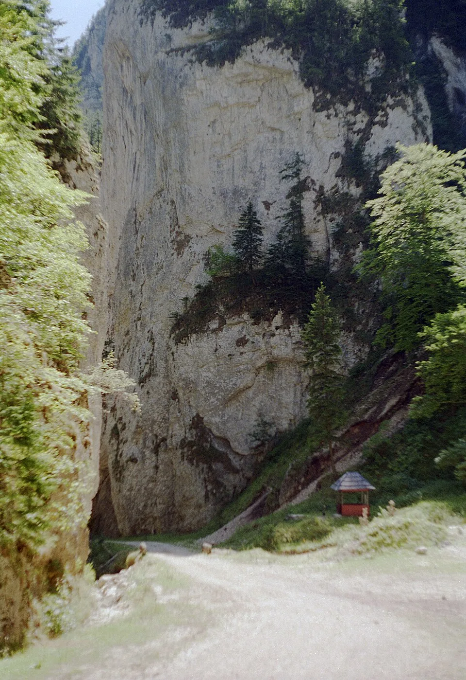
“Prăpăstiile Zărneştilor canyon, Piatra Craiului, Romania” by Petr Vodička, Wikimedia Commons, CC BY-SA 4.0 · CC BY-SA 4.0 via User:PetrVod/permission · Source

Sources
- La Lanțuri – scrambling in Piatra Craiului (en, retrieved 2026-07-02)
- Piatra Craiului Mountains, Romania - the ridge (en, retrieved 2026-07-02)
- Piatra Craiului - Creasta Nordică și Sudică într-o tură de o zi (ro, retrieved 2026-07-02)
- Romania: easy hike near Brasov: From Zarnesti to Cabana Curmatura, Piatra Craiului Mountains (en, retrieved 2026-07-02)
- OpenStreetMap contributors — Piatra Craiului peak, saddle and hut nodes (en, retrieved 2026-07-02)
- Brașov to Zărnești travel distance and time (en, retrieved 2026-07-02)
- Piatra Craiului - prezentare generală (ro, retrieved 2026-07-03)
- Creasta Pietrei Craiului (ro, retrieved 2026-07-03)