
Overview
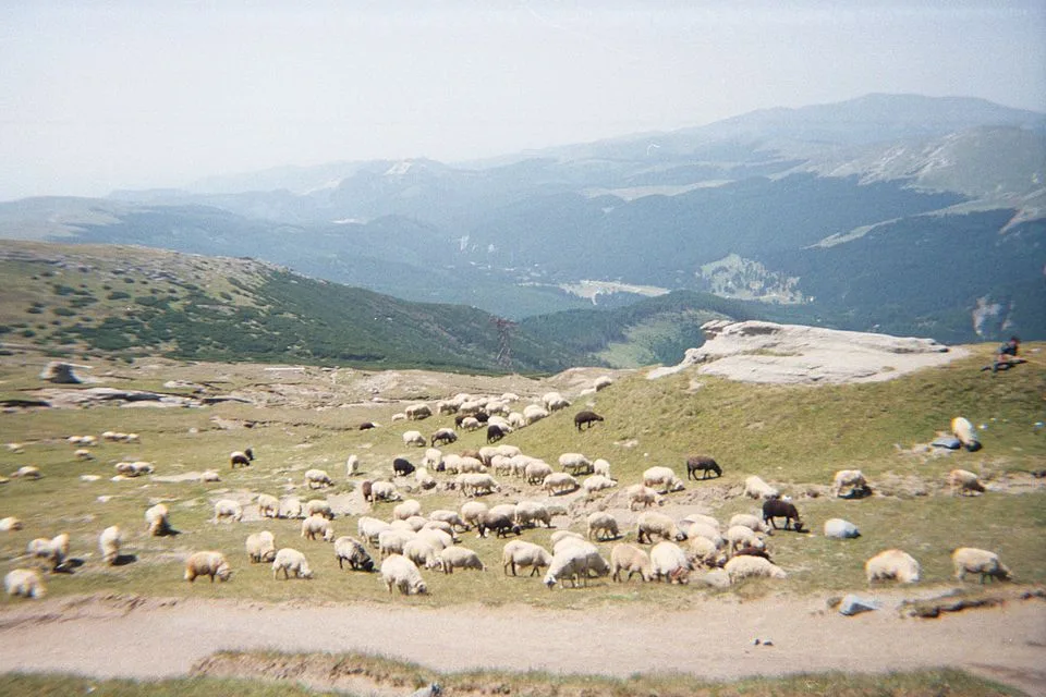
From the top station of the Sinaia cable car at Cota 2000, the trail climbs a short but distinctly steep pitch onto Vârful Furnica (2,103 m), the high point of the walk, before dropping into a broad saddle and rolling north across open alpine grassland to the Piatra Arsă sports complex, a cluster of chalets at 1,950 m roughly midway between Cota 2000 and Babele on the same high tableland. Near the eastern edge of the plateau by the complex, the ground drops away toward the Prahova Valley, and on a clear day the rooftops of Bușteni and Poiana Țapului are visible far below, with the long ridgelines of the Postăvaru and Piatra Mare massifs rising on the horizon to the north. Past the complex, the path continues to the true high point of Piatra Arsă (2,044 m), a broad, grassy rise about 900 m north of the chalets, giving an uncluttered sweep across the southern Bucegi tableland with Furnica's rocky crest behind to the south. The terrain throughout is gently rolling alpine grassland and packed gravel with no scrambling, but it stays above 1,900 m and largely unsheltered for its entire length, and the meadow edges near the complex are unfenced.
At a glance
- Distance
- 6.4 km
- Time
- 3 hr 10 min
- Elevation
- ↑ 320 m · 1935–2103 m
- Route
- Out and back
Route and directions
Numbered markers trace the waypoints from the trailhead. Use the buttons to open the trailhead in an external map app for driving directions. Links open in a new tab.
Access, season, and cautions
Access
From Brașov, drive south on DN1/E60 through Predeal to Sinaia, about 46 km and roughly 55 minutes. Park near the Sinaia cable car base station in town (Telecabina/Telegondolă Sinaia), then ride the two-stage cable car up through Cota 1400 to the Cota 2000 top station at approximately 2,000 m. The out-and-back walk to Piatra Arsă begins right at the upper station platform; no additional driving or approach hiking is needed.
No permit required. The route lies inside Bucegi Natural Park, so keep to the marked (yellow-stripe) trail, do not pick or disturb alpine plants, do not light fires, and pack out all rubbish per park rules.
Season: Best from June through September, when the plateau paths are dry and clear of snow. Snow and ice can linger from October to May and occasionally into early June in shaded dips near Furnica, when the steep initial pitch needs proper winter gear. The Sinaia cable car sometimes suspends service in high wind or icing at any time of year, so check operating status before driving up. Summer afternoons regularly bring thunderstorms on the exposed plateau, so aim for an early start.
Cautions
- Fast-changing mountain weather above 2,000 m can bring fog, sudden temperature drops, or thunderstorms with little warning, even on a clear morning.
- The short climb from Cota 2000 onto Vârful Furnica is distinctly steep and can be slippery on wet rock or on icy, frozen snow outside summer.
- Unfenced meadow edges near the Piatra Arsă complex drop away toward the Prahova Valley; keep back from the rim, especially in wind or poor visibility.
- Lightning risk is significant on the open, treeless plateau during summer afternoon thunderstorms.
- Strong wind can suspend cable car operation, potentially stranding walkers at altitude with no quick way back down before dark.
- Snow and ice can persist into late spring in shaded dips, when crampons or microspikes are advisable outside June-September.
Waypoints
- Trailhead: Cota 2000 (Sinaia cable-car top) — Upper station of the two-stage Sinaia cable car at about 2,000 m; snack bar and the start of the yellow-marked plateau trail toward Furnica and Piatra Arsă.
- Vârful Furnica — A short, distinctly steep climb from Cota 2000 reaches this 2,103 m summit, the high point of the walk, before the trail drops into a broad saddle and rolls north across the plateau.
- Complex Sportiv Piatra Arsă — Cluster of chalets at 1,950 m roughly midway between Cota 2000 and Babele; the meadow's eastern edge gives a view down toward Bușteni and Poiana Țapului in the Prahova Valley.
- Vârful Piatra Arsă (2,044 m) — Broad, grassy high point about 900 m north of the complex and the turnaround point of the walk, with an open sweep across the southern Bucegi plateau.
Gallery
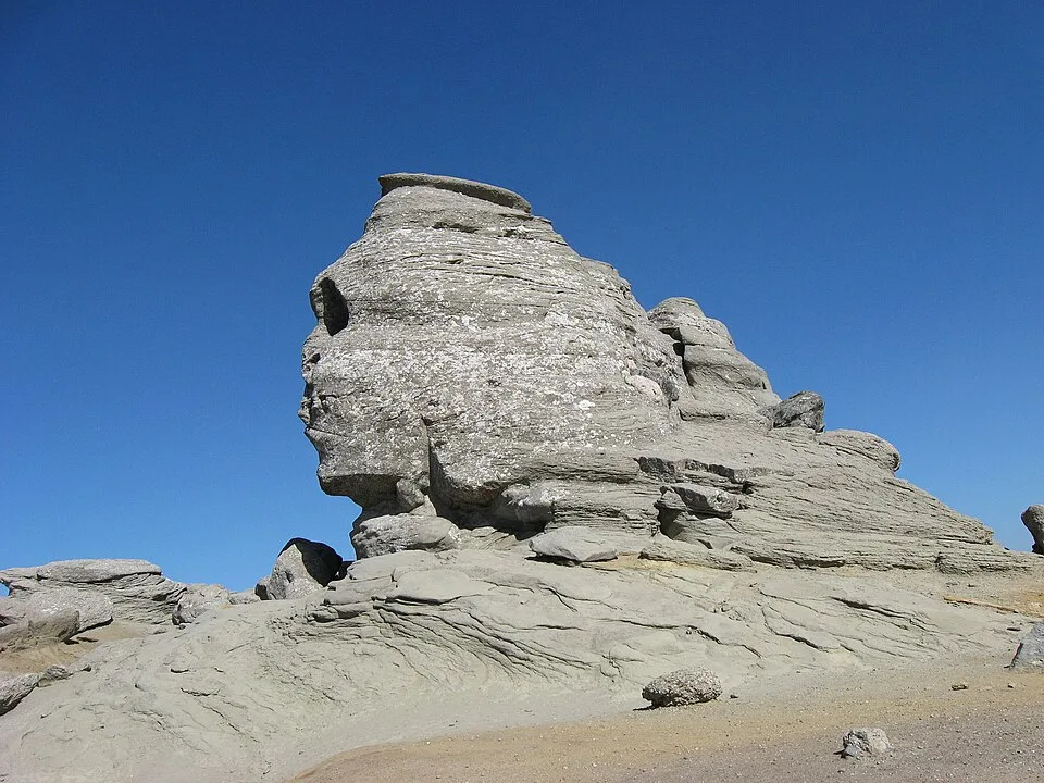
Bucegi Sphinx by Radu Privantu, CC BY 2.0, via Wikimedia Commons/Flickr · CC BY 2.0 · Source

Sources
- Piatra Arsă (2,044 m) – Bucegi Mountains, Romania (en, retrieved 2026-07-02)
- Furnica (en, retrieved 2026-07-02)
- Traseu Sinaia - Cabana Piatra Arsa (ro, retrieved 2026-07-02)
- Cabana Piatra Arsă (ro, retrieved 2026-07-02)
- Vârfurile Furnica și Piatra Arsă - Plimbare de la Cota 2000 (ro, retrieved 2026-07-02)
- Distanța Sinaia Brașov (ro, retrieved 2026-07-02)