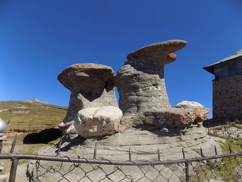

Overview
From the forest-road trailhead above Râșnov, the route follows the blue-band trail up the wooded Mălăiești valley, passing the Izvorul Mălăiești spring before climbing through beech forest to the open glacial cirque where Cabana Mălăiești sits at 1,720 m, dwarfed beneath the jagged crest of Padina Crucii and the rock tower of Bucșoiu. Beyond the cabin the trail crosses the upper cirque to the foot of Hornul Mare al Mălăieștilor, a roughly 100-metre rock-and-scree couloir that is the only way through the cliff band guarding the ridge above; it demands careful hands-on scrambling over loose stone and, when a late snow patch lingers or after rain, real caution. Above the couloir the trail reaches the narrow notch of Curmătura Hornurilor, where the glacial trough of the Mălăiești valley suddenly opens out below: Cabana Mălăiești shrinks to a speck on the valley floor and the U-shaped valley runs due north in one continuous sweep toward Râșnov and the flat Bârsa Depression, with the Postăvarul ridge, and on a very clear day the rooftops of Brașov, visible far beyond. From Curmătura Hornurilor the path turns east along the open ridge to the summit of Vârful Omu (2,514 m), the highest point in the Bucegi Mountains, marked by a small weather station and, in clear weather, a 360-degree panorama over the whole massif. This is by far the quietest and most demanding of the standard routes to Omu, with none of the cable-car crowds of the Bucegi plateau side, but also none of their easy retreat: once past the cabin there is no shelter and no marked bail-out, and the couloir has to be climbed and then downclimbed again on the way back.
At a glance
- Distance
- 19 km
- Time
- 11 hr 30 min
- Elevation
- ↑ 1700 m · 984–2514 m
- Route
- Out and back
Route and directions
Numbered markers trace the waypoints from the trailhead. Use the buttons to open the trailhead in an external map app for driving directions. Links open in a new tab.
Access, season, and cautions
Access
From Brașov, drive south on DN73 to Râșnov, about 15 km and 20 minutes. In Râșnov, follow Glăjărie street out of town onto the forest road toward Cabana Mălăiești; the asphalt gives way to a maintained gravel forest road a few kilometres in, passable to ordinary cars in dry conditions, with a marked trailhead and guidepost roughly 10 km beyond the town centre. Allow about 45-50 minutes total driving time from Brașov. A Bucegi Natural Park ranger checkpoint on the forest road collects the park entrance fee before you reach the trailhead.
Bucegi Natural Park requires a paid visitor ticket (10 RON per adult as of 2026, valid 90 days; children under 14 free), bought online or in cash from park rangers at the checkpoint on the Glăjărie forest road. No separate hiking or climbing permit is needed for the marked blue-band route, including the Hornul Mare couloir, but this is not an equipped via ferrata and has no fixed cables or ladders: only attempt it with the scrambling experience, and in winter or spring the alpine equipment, it demands. Camping and open fires are prohibited within the park outside designated areas.
Season: Best from late June through September, once the Hornul Mare couloir has shed its winter snowpack and the forest trail to Cabana Mălăiești is dry underfoot; July and August give the longest daylight for the full round trip. Snow and ice can linger in the shaded couloir and on the north-facing cirque into June, and afternoon thunderstorms are common on the open summit ridge in summer. From roughly November to May the route becomes a genuine winter mountaineering objective: Hornul Mare and the slopes below Padina Crucii carry real avalanche danger after fresh snow, and only experienced, properly equipped parties with crampons and an ice axe should continue past Cabana Mălăiești.
Cautions
- Steep, loose rock-and-scree scrambling in the roughly 100-metre Hornul Mare al Mălăieștilor couloir, the technical crux of the route, with real rockfall risk, especially if other parties are above you.
- Snow, ice, and cornices can linger at the top of the couloir into early summer, and the surrounding slopes below Padina Crucii and Bucșoiu carry genuine avalanche danger from autumn through late spring.
- Fully exposed open ridge between Curmătura Hornurilor and the summit, with no shelter from sudden fog, high wind, or lightning.
- Long and remote: no hut or reliable shelter between the trailhead and Cabana Mălăiești, no marked escape route once past the couloir, and unreliable mobile signal through most of the valley.
- A long day even for fit hikers, commonly 10-12 hours car to car, leaving little margin if the party is slow or the weather turns; most guides recommend splitting the route over two days with a night at Cabana Mălăiești rather than a single push.
Waypoints
- Trailhead: Glăjărie forest road parking (Râșnov side) — Marked trailhead and parking area on the Glăjărie forest road above Râșnov, at about 984 m; the blue-band trail to Cabana Mălăiești starts here.
- Izvorul Mălăiești — A spring and bend in the forest road where the trail turns south into the wooded Mălăiești valley.
- Forest clearings toward Cabana Mălăiești — The blue-band trail winds through wooded terrain and open clearings, including ground known locally as Poiana Buhacu, between Izvorul Mălăiești and the glacial cirque at Cabana Mălăiești.
- Cabana Mălăiești (1720 m) — Mountain hut on the moraine of the glacial Mălăiești cirque, beneath the crest of Padina Crucii and the tower of Bucșoiu; the usual overnight stop before the summit push.
- Upper Mălăiești cirque traverse — Beyond the cabin the trail crosses the open glacial cirque, skirting the moraine below Padina Crucii and Bucșoiu, on its way to the foot of Hornul Mare al Mălăieștilor.
- Foot of Hornul Mare al Mălăieștilor — Head of the upper glacial cirque, where the trail leaves the valley floor and climbs into the rock-and-scree couloir of Hornul Mare.
- Curmătura Hornurilor — Narrow notch at the top of the couloir where the Mălăiești valley opens out below to the north; the trail turns east here along the ridge toward the summit.
- Summit: Vârful Omu (2514 m) — Highest point in the Bucegi Mountains, marked by a meteorological station; turnaround point of the hike.
Gallery
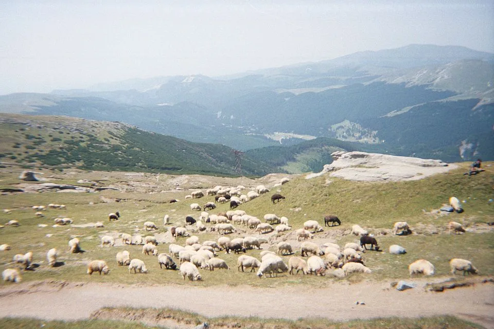
The Plateau of the Bucegi Mountains, Romania by Gabriel from Bucharest, CC BY 2.0, via Wikimedia Commons/Flickr · CC BY 2.0 · Source

Sources
- Traseu Cabana Mălăești - Cabana Omu (ro, retrieved 2026-07-02)
- Traseu Glăjărie (Râșnov) - Cabana Mălăiești (ro, retrieved 2026-07-02)
- Tură de o zi până la cabana Mălăiești, pe valea Glăjăriei (ro, retrieved 2026-07-02)
- Hornul Mare al Mălăieștilor (ro, retrieved 2026-07-02)
- Cabana Mălăiești (ro, retrieved 2026-07-02)
- Omu Peak (en, retrieved 2026-07-02)
- Ticket information (en, retrieved 2026-07-02)